Our active winter weather pattern continues our latest winter storm moves through the region this Sunday
Winter Storm Warnings are in effect across New England. Travel will become more hazardous across the entire region as the storm system moves through.

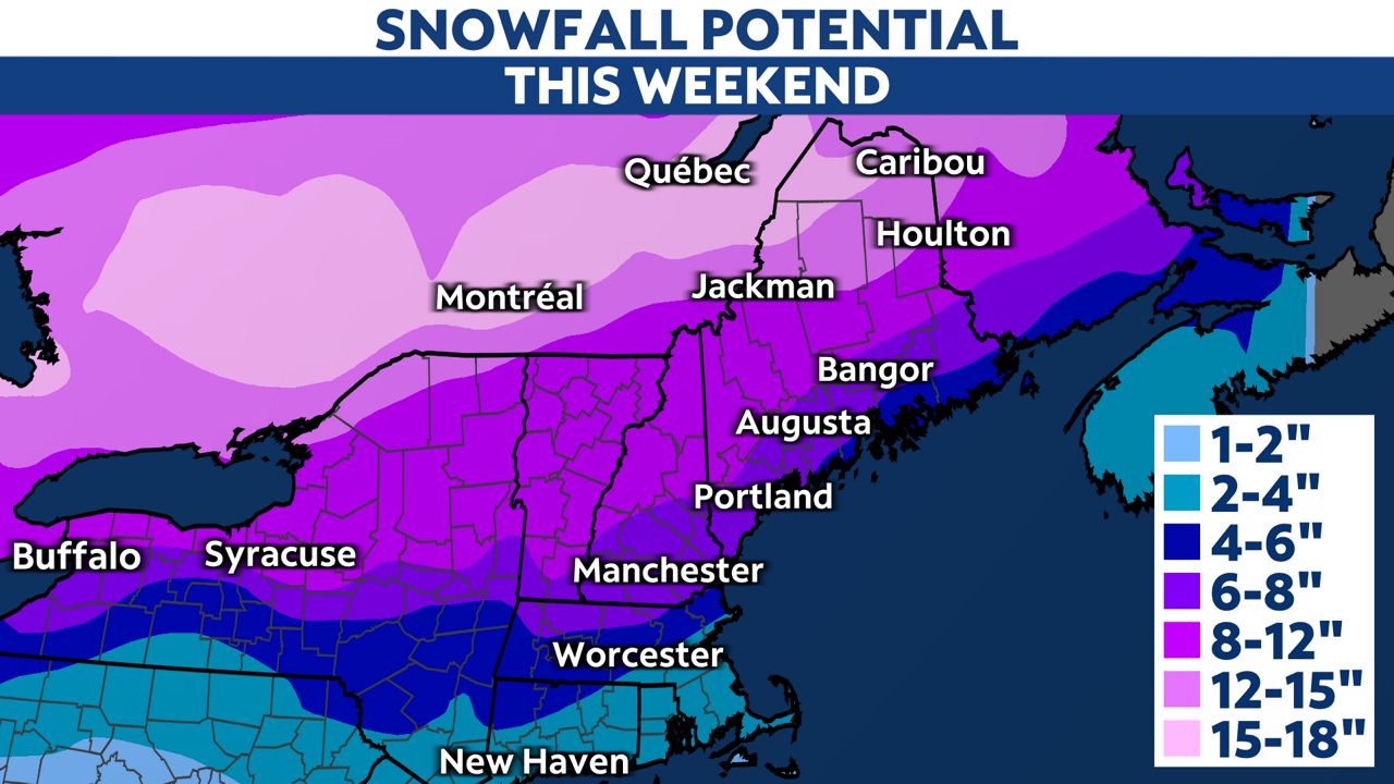
A low pressure system will intensify Sunday as it heads through Upstate New York into New England. Widespread snow will fill in from the west Sunday.
Snowfall accumulations with this system will be highest across northern New York and interior New England, especially for higher elevations. Parts of northern Maine will see snowfall totals over a foot, up to 12 to 16 inches Sunday.
The precipitation will begin as all snow. During the storm, a transition to wintry mix or freezing rain is likely across southern New England and near the coast, but it should change back over to snow late Sunday night as temperatures plummet and colder air moves in.
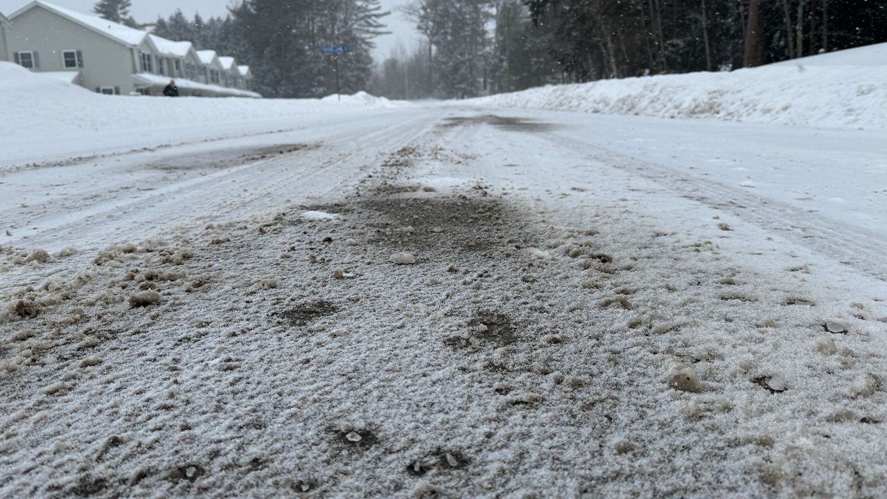
Wet surfaces will freeze Sunday night, so expect difficult travel across the entire region.
Cold high pressure builds in with strong winds early next week, bringing a more brisk and blustery forecast Monday.
We'll continue to update the forecast, so be sure to sign up for weather notifications.
Our team of meteorologists dives deep into the science of weather and breaks down timely weather data and information. To view more weather and climate stories, check out our weather blogs section.