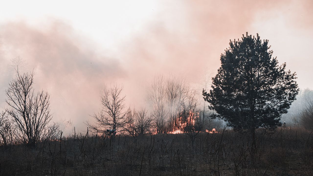
LOS ANGELES — Following a weekend that's expected to be warmer than usual, another round of gusty Santa Ana winds is expected to descend on the region early next week, combining with dry conditions to elevate the risk of wildfires.
According to the National Weather Service, above-normal temperatures are expected throughout the weekend in all areas except the coast, with highs expected in the 70s and lower 80s. Some "locally gusty winds" are expected Saturday, primarily in mountain and foothill areas.
After a brief cooldown on Sunday, offshore winds will begin building Monday.
"Santa Ana winds are expected to increase late Monday morning or afternoon, then peak Monday night into Tuesday," according to the NWS.
By Monday night, winds could reach 20 to 35 mph, gusting to between 35 and 50 mph, forecasters said. Isolated gusts could reach up to 65 mph in typically wind-prone areas.
The winds, along with low humidity, are expected to persist into Wednesday. In anticipation of the conditions, the NWS has already issued a fire weather watch that will cover most of Los Angeles and Ventura counties from 10 a.m. Monday through 6 p.m. Wednesday, but that watch could eventually evolve into a more serious red flag warning of critical fire danger.
"With the strong likelihoold of widespread single digit humidities with this event, confidence is increasing for a long duration Red Flag event," according to the NWS. "In addition, there is the potential for a high end Red Flag event across some of the windiest areas Monday night through Tuesday night, as localized wind gusts of 50 to 65 mph could overlap with single digit humidities across the western San Gabriels, Santa Susanas and western Santa Monicas."
Winds are expected to begin weakening by next Thursday.