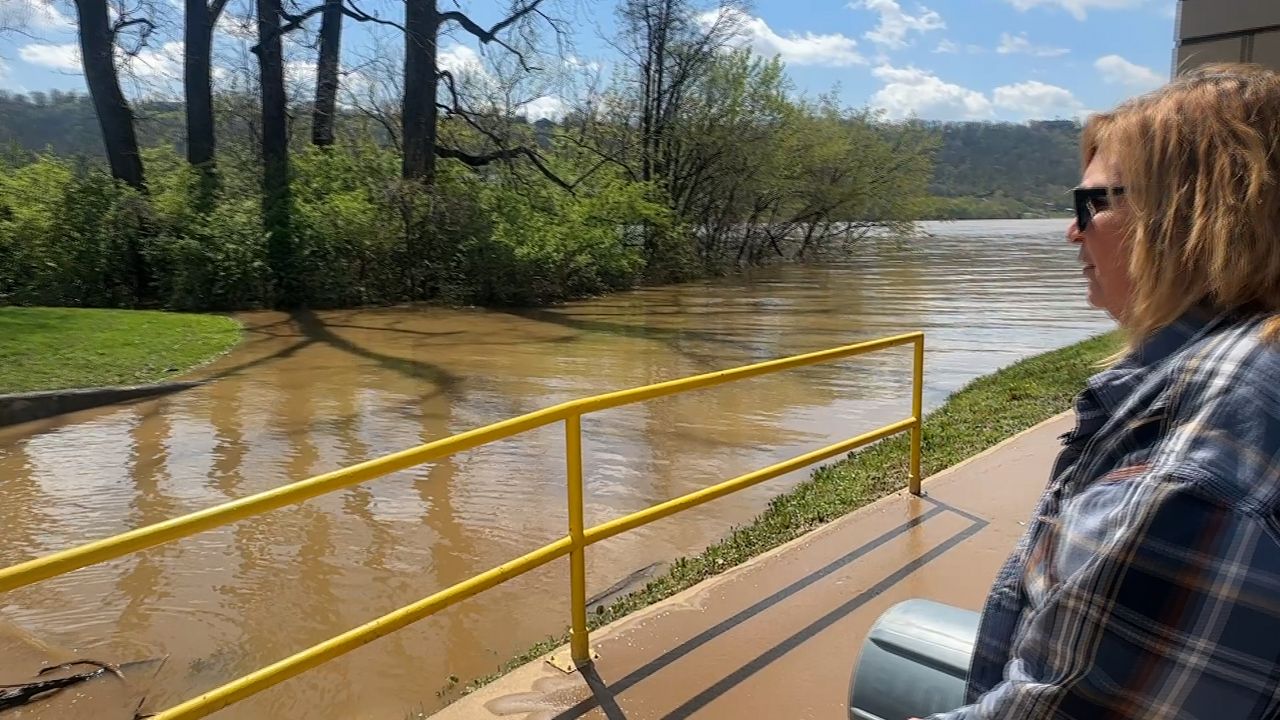


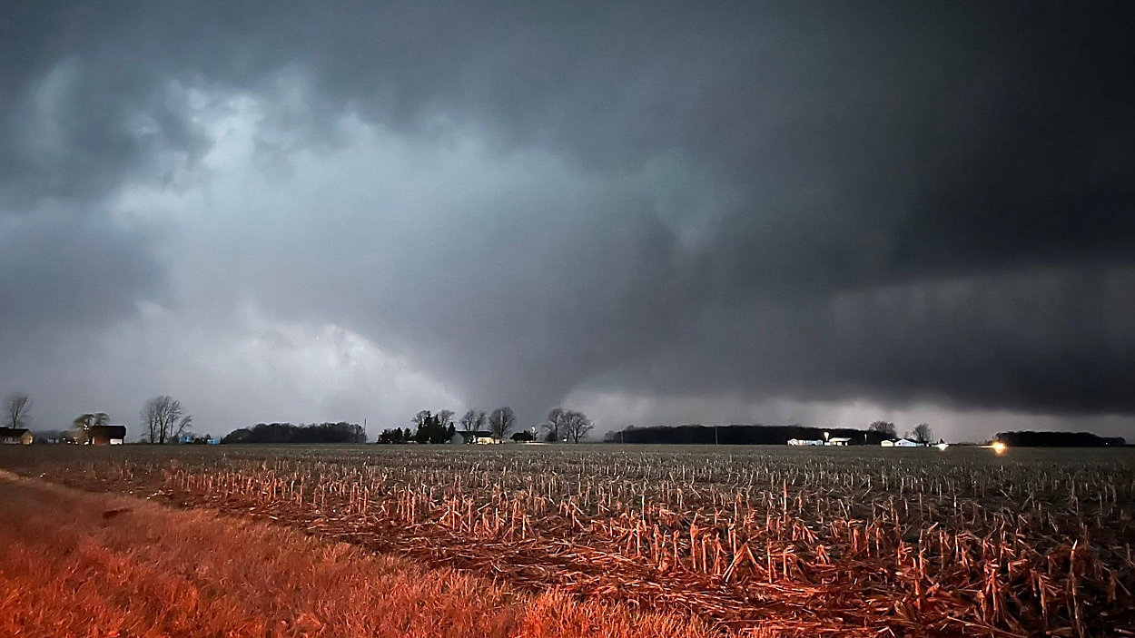

OHIO — At least nine tornadoes have been confirmed in Thursday's severe weather that killed three people and injured at least 25 across Ohio.
The National Weather Service deployed storm survey teams Friday to examine storm damage in numerous areas to determine if damage was caused by a tornado, as well as the size and strength of any tornadoes that touched down.
The number is expected to increase over the next few days as surveys and analysis continue.
The strongest of the tornadoes is an EF3, with winds of more than 130 mph, that touched down in Auglaize County near Fryburg. The tornado continued on the ground through northern Logan County into communities near Indian Lake. Orchard Island, Lakeview and Russells Point saw the most extensive damage according to state emergency management officials. A more detailed report is expected in the next few days. EF3 tornadoes have winds of 136-165 mph.
In Mercer County, the National Weather Service said it was an EF1 tornado that caused damage in the western part of the county. More information about that tornado is expected later Friday, including details about the size and path of the twister. EF1 tornadoes have winds of 86-110 mph, according to the Enhanced Fujita scale which is used to determine a tornado's intensity. Officials said three people suffered non life-threatening injuries. Damage was reported in the town of Celina and in an area near Skeels Road at the Indiana state border.
Another EF1 tornado touched down in Mercer and Auglaize counties. The tornado is believed to have started near Celina and ended north of Moulton. This is in addition to the EF1 tornado that occurred in western Mercer County.
It was an EF2 tornado, with winds of 120 mph, that caused damage in parts of Crawford and Richland Counties. The National Weather Service said the tornado touched down northeast of New Washington and lifted after ten miles on the ground in Plymouth Township. Meteorologists estimate that tornado was 250 yards wide.
Officials said the tornado that struck north of Johnstown was an EF1 based on their initial storm survey. The twister first touched down in central Delaware County and continued through north-central Licking County. More details about this tornado are expected in the coming days.
Five homes were damaged and several farm buildings were destroyed by an EF1 tornado southwestern Hancock County. Meteorologists said the twister, with estimated 100 mph winds, touched down in Orange Township and stayed on the ground for more than three miles. It tracked to the east, eventually lifting in Van Buren Township. It's estimated the tornado was 100 yards wide.
The National Weather Service said an EF2 tornado struck in Darke and Miami Counties. They believe the tornado likely started in Indiana before crossing the state line into Ohio. Additional information about the tornado's strength and path will be released in the next few days.
In Union County, a tornado with winds of at least 111 mph, touched down Thursday evening near Broadway. The tornado has been classified as an EF2.
The National Weather Service confirmed a ninth tornado on Tuesday that hit parts of Hancock and Seneca counties. Officials said it was an intermittent tornado and didn't affect any structures or people. It occurred near Vanlue, and the National Weather Service said it confirmed this tornado based on "several social media photos and videos, eyewitness reports, and law enforcement reports." A crew was unable to access the fields to assess damage.
Check back for updates as more survey information is released over the coming days.