


Two of the United States’ weather satellites watch over half the globe, tracking everything from hurricanes to wildfires.
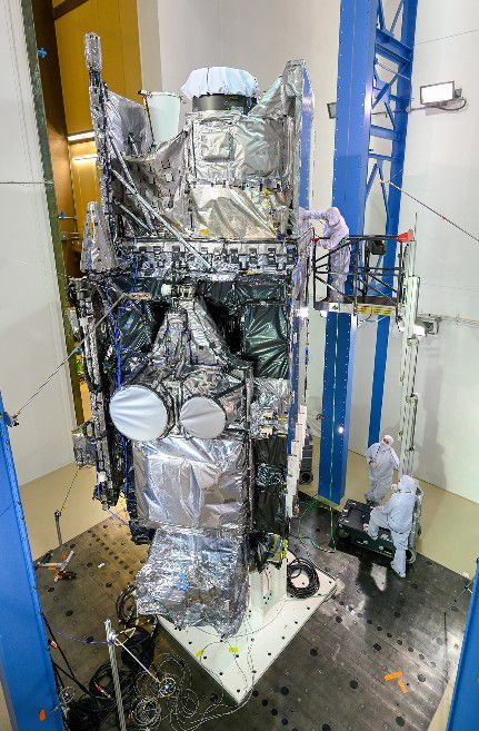
A third is set to join them after a successful launch from Cape Canaveral, Florida on March 1. GOES-T, the third satellite in the GOES-R series, will help monitor Earth and space weather.
It'll eventually take on the name GOES-18.
"GOES" stands for "Geostationary Operational Environmental Satellite."
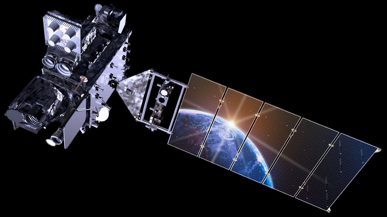
The satellites are about the size of a school bus, situated 22,236 miles above the Earth, so they can always face the same spot, constantly monitoring conditions in that region.
The new "GOES-R" satellites feature many upgrades over the satellites they replaced.
The weather images from satellites that you’re probably familiar with–swirling clouds moving across the Earth, for example–have four times the resolution and are taken five times faster.
All this helps meteorologists better track and predict wildfires, fog, severe weather, flooding, hurricanes… pretty much everything, really.
A lightning mapper, which wasn’t on the previous generation of GOES satellites, shows lightning flashes that give clues about thunderstorms’ strength.
That’s especially useful over oceans, where pilots and hurricane forecasters now have information they didn’t before. It also helps with wildfire prediction, since some types of flashes are more likely to spawn them.
The video below is played at 500 times real-time speed and shows aircraft (in red) navigating around the lightning flashes where thunderstorms are located.
Since the satellites are in space, they check out space "weather," too. Instruments measure radiation and particles that can affect communications, power grids and GPS navigation systems.
In 2016, NOAA launched the first of their new “GOES-R” weather satellites.
The next year, the government agency put it to work, replacing an older satellite and renamed GOES-16, monitoring most of the Americas and Atlantic Ocean.
The second, GOES-17, went up in 2018 and began its watch over the Americas and Pacific Ocean. Unfortunately, an issue with its cooling system showed up, preventing some imagery from working at certain times.
Engineers tweaked that cooling system for the latest satellite, which launched March 1. GOES-18 was originally going to stay in "storage" in orbit for several years, but it'll instead send its first images late this spring.
It'll begin service in early 2023 after it moves into GOES-17’s position above the Earth.
GOES-17 will stay in space, on standby as a backup. NOAA plans to launch a fourth new satellite, the eventual GOES-18, in April 2024. They expect its mission to begin in 2032.