


Severe weather can happen any time of year, but spring is when the threat really picks up steam.
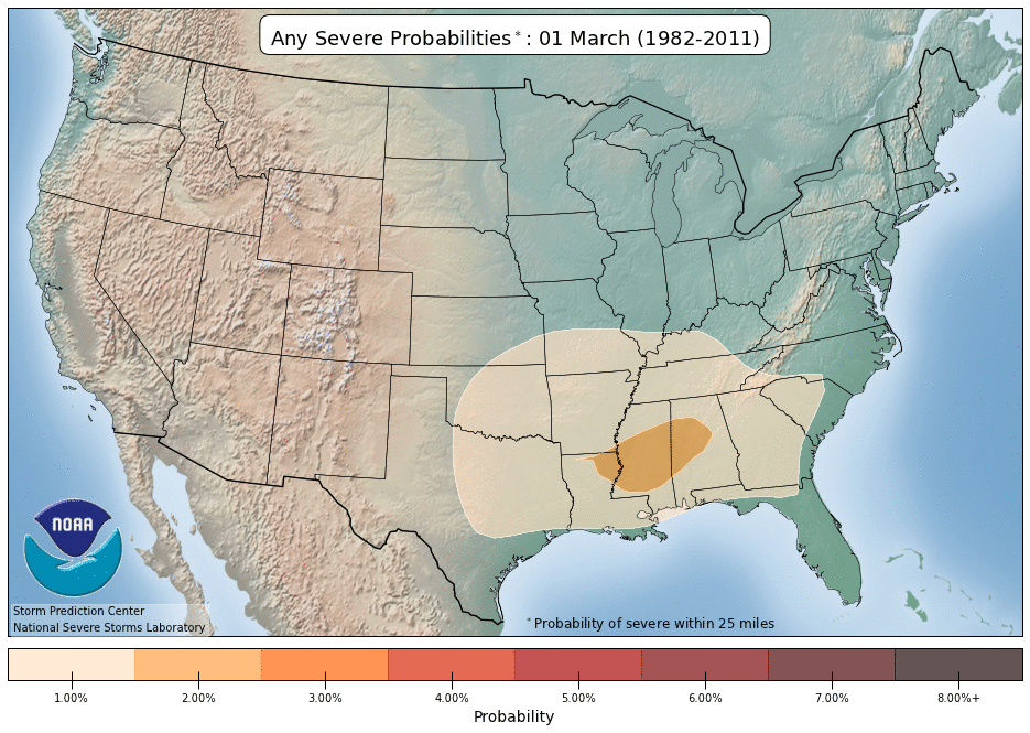
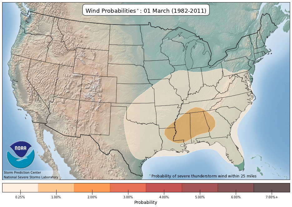
In early March, the most common area for severe weather–large hail, damaging winds, or tornadoes–is over the south-central United States.
By April 1, the ingredients for thunderstorms become more common, and so does severe weather. The highest historical odds double as a bullseye develops over southern Oklahoma. However, severe thunderstorm activity picks up anywhere from Texas to South Carolina and as far north as Indiana.
In May, just about everywhere east of the Rockies deals with the potential for severe weather.
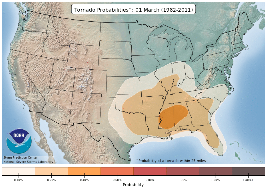
The odds that those thunderstorms will have a tornado also shift with the season. They start highest over Dixie Alley–Mississippi and Alabama–in early March, then dramatically increase and shift to the Plains into May.
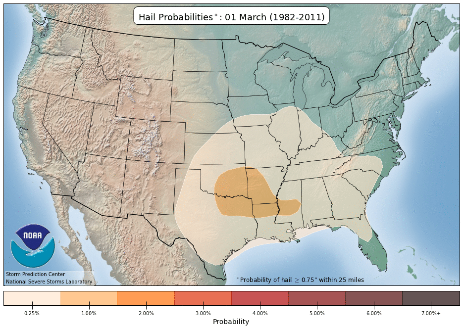
Large hail at least an inch in diameter follows a similar trend. It’s most common with the powerful Plains thunderstorms in April and May. However, the southern Appalachians into the Carolinas also experience a higher risk of hail than other areas.
The patterns for damaging wind change differently, though. While the odds increase as they expand in the spring, they’re not as Plains-centric. In fact, one bullseye runs from the Ohio Valley into the western Carolinas. Severe-strength wind of at least 58 mph is considerably more common than tornadoes and can spread damage over a larger area.
All that said, each year is unique and can behave differently from the long-term trends and chances. Staying weather-aware and knowing how to prepare for severe weather go a long way to keeping you safe, no matter where you live.
Justin Gehrts - Senior Weather Producer
Justin Gehrts is a senior weather producer for Spectrum News. He has well over a decade of experience forecasting and communicating weather information. Gehrts began his career in 2008 and has been recognized as a Certified Broadcast Meteorologist by the American Meteorological Society since 2010.