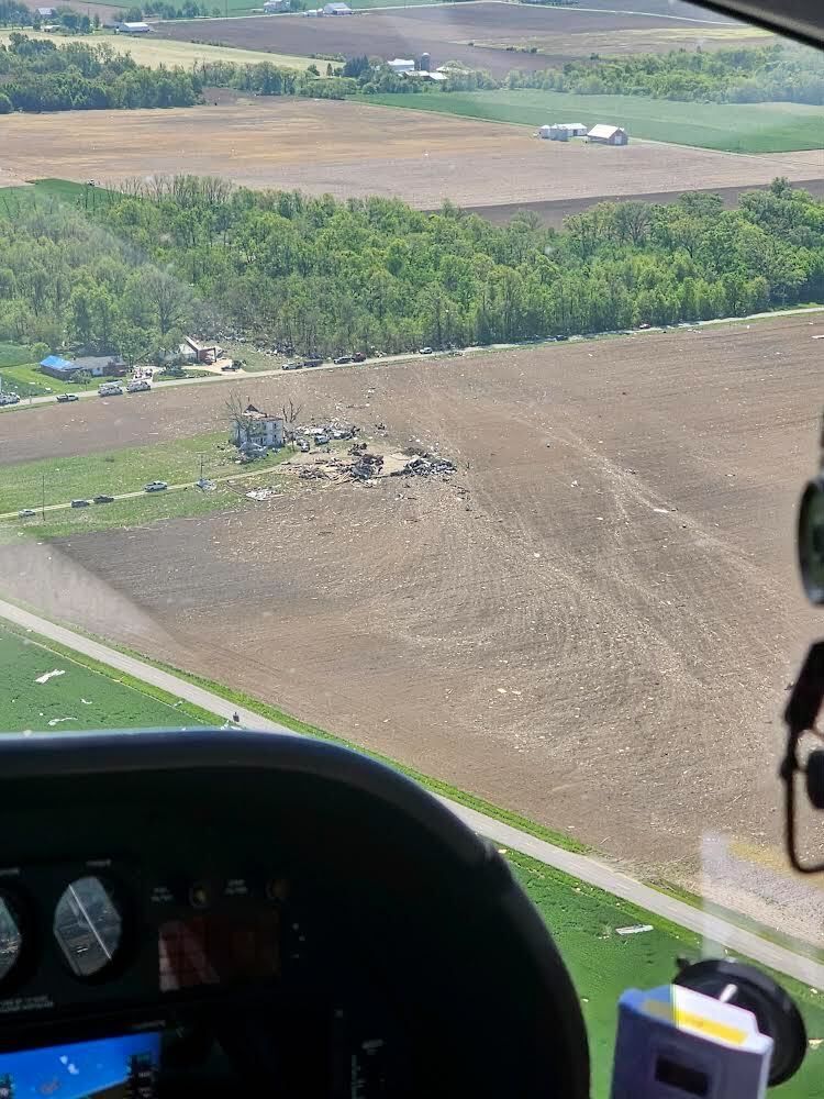
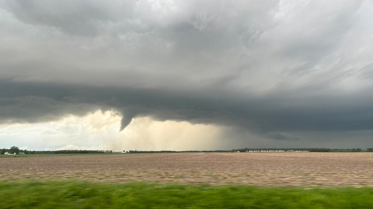
OHIO — The National Weather Service (NWS) confirmed at least 19 tornadoes touched down in several areas of Ohio during the Tuesday, May 7 storms.
NWS initially thought the count was higher on Monday but then combined some tornado tracks, lowering the count.
This means Ohio is now up to 56 tornadoes confirmed this year. It's short of the record in 1992, when Ohio had its most tornadoes in one year with 62.
Some details for the tornadoes, such as ratings and maximum wind speeds, haven't been released yet.
An EF-2 tornado hit along the Auglaize and Mercer County line. NWS said there was damage along Guadalupe/Southland Road west of New Knoxville.

According to a NWS report, a second EF-2 tornado was confirmed in Mercer County. Damage began on the Ohio side of the state line and ended west of Coldwater.
NWS also confirmed a third tornado in Darke County. Damage started west of Greenville and continued through the city. The tornado was rated an EF-1.
Additionally, a fourth tornado hit in Jefferson County. NWS ranked this tornado as an EF-2 with estimated peak wind speeds of 130 mph. This tornado uprooted trees, tore the roofs off homes and overturned a mobile home. The tornado moved through Ohio, West Virginia and Pennsylvania.
Another tornado touched down in Clinton County, north of Blanchester. NWS said damage occurred along North State Route 133 near Irvin Road.
Two tornadoes touched down in Paulding County. There was an EF-1 which impacted several structures along Road 151. Maximum wind speeds were estimated to have been around 105 mph. The second was rated an EF-0 in Arthur.
A tornado has been confirmed in Butler County between Oxford and Hamilton. Damage was observed from Bunker Hills Wood Road northeast to Stillwell Beckett Road.
Another tornado has been confirmed in Butler County. This tornado started in Indiana before moving into western Butler County. This tornado is rated an EF-1 by NWS. It reached estimated maximum speeds of 110 mph while creating high end EF-1 damage.
Butler County saw a third tornado Tuesday. This one was in Middletown and rated as an EF-0 by NWS. This tornado was brief and moved south to north along the west side of Cincinnati Dayton Road.
Then, in Putnam County, NWS confirmed an EF-0 that touched down in Belmore.
East of Columbus, a tornado touched down in Coshocton County. There was another confirmed tornado in Muskingum County. The strengths of these tornadoes have not been announced by NWS yet.
In Licking County, NWS determined an EF-0 tornado touched down with maximum winds of 75 mph and maximum width path of 100 yards. It hit northeast Licking County, east of St. Louisville.
However, the county that accounts for the most tornadoes so far is Warren County. NWS confirmed seven tornadoes touched down there in the following areas:
- Shawhan Road, northeast of South Lebanon (EF-0)
- State Route 123, southeast of Lebanon
- Near Morrow (EF-1)
- Mason Morrow Millgrove Road, south of Senior
- US Highway 22, west of Clarksville
West-central and southern Ohio got hit hard Tuesday night with storms producing damage and flash flooding. At least one person was injured during the storms in Darke County, officials confirmed.
Editor's Note: The National Weather Service has determined that a total of 19 tornadoes touched down during the May 7 storms. NWS said it combined some tracks of the tornadoes, lowering the count. (May 13, 2024)


