SAN GABRIEL CANYON, Calif. — Rising humidity and cooling temperatures helped slow the spread of the Bridge Fire that spread from San Gabriel Canyon above Glendora into San Bernardino County, and fire crews Friday were working Friday to take advantage of improved conditions to improve containment lines.
As of Friday morning, the fire was estimated at 51,884 acres with 3% containment, primarily on the southwestern flank. By 7:05 p.m., it had grown to about 52,800 acres, according to Cal Fire.
"The north flank of the fire is the number one priority in halting acreage growth, as well as continuing structure protection in Piñon Hills, Wrightwood and Mount Baldy Village," according to a Friday update from incident commanders. "On the northeast flank, the top priority is to keep the fire out of Lytle Creek. With a total of 15 helicopters assigned to this incident including four from the National Guard, aviation crews plan to focus on dropping water and fire retardant heavily in the northwest flank where the fire is currently the most active."
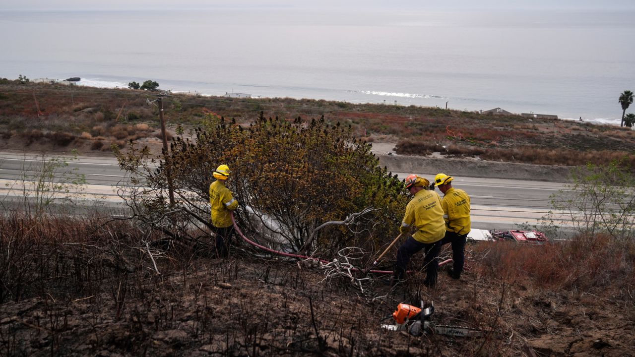
Fire officials said humidity is still low in higher elevations, but in lower elevations, the marine layer and higher humidity were helping crews make "great progress in strengthening both primary and secondary containment lines in the southeast, south and southwest flanks of the fire, while also gaining depth in their mop-up operations."
The blaze began at 3 p.m. Sunday near East Fork and Glendora Mountain roads, according to officials with the Angeles National Forest. The fire initially remained relatively small, but it exploded in size at the tail end of an extended heat wave on Tuesday, destroying dozens of structures as it marched into San Bernardino County.
The fire is the largest active fire in the state.
Evacuation orders remained in effect for:
- the entire community of Wrightwood
- Highway 138 south to Lone Pine Canyon and Highway 2 east to Lone Pine Canyon Road
- Piñon Hills from Wrightwood north to Highway 18 and Beekley Road west to LA County
- Lone Pine Canyon from the community of Wrightwood to Highway 138/Lone Pine Canyon Road south to the forest
- East Fork communities of Camp Williams Resort (cafe, mobile home park, campground) and River Community (near the resort)
- Mt. Baldy Road, North Mountain Avenue and Shinn Roads from San Antonio Heights to Wrightwood and east to Cucamonga Peak
Evacuation warnings were in effect for:
- The area of Phelan from Highway 138 east to Baldy Mesa Road and Phelan Road south to Sayle Road
- San Antonio Heights and Upland from the foothills south to 23rd Street
- Piñon Hills from Wrightwood north to Highway 138 and Lebec Road west to Los Angeles County.
Road closures were in effect at the following locations:
- SR-138 from Lone Pine Canyon Road to Beekley Road
- SR-2 closed from Big Pines to SR-138
- Big Pines Highway
- Big Rock Creek Road
- San Gabriel Canyon and East Fork of the San Gabriel River
- Highway 39
- East Fork Road
- Glendora Ridge Road
- Glendora Mountain Road
- Mount Baldy Road at Shinn Road intersection
An evacuation center was established at the Jessie Turner Center, 15556 Summit Ave., in Fontana.
Other evacuation centers are at:
- San Bernardino County Fairgrounds: 14800 Seventh St., Victorville
- Pomona Fairplex: 601 W McKinley Ave., Pomona (Enter Gate 3, corner of McKinley and White)
Animal evacuation centers are at:
- Devore Animal Shelter (pets/livestock): 19777 Shelter Way, San Bernardino. Call 909-386-9820, or after hours: 800-472-5609
- Palmdale Animal Care Center (small animals): 38550 Sierra Highway, Palmdale
- Lancaster Animal Care Center (small animals): 5210 W. Ave. I, Lancaster
- Antelope Valley Fairgrounds (large animals): 2551 W. Ave. H, Lancaster. Call 562-706-8581 prior to arrival
Officials also said the Incident Management Team was in the process of setting up a public meeting at 6 p.m. Saturday that would be livestreamed on Facebook, with a goal of having an "in-person location for the meeting, if possible, hopefully in/near the Phelan area."
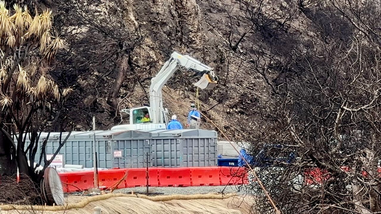
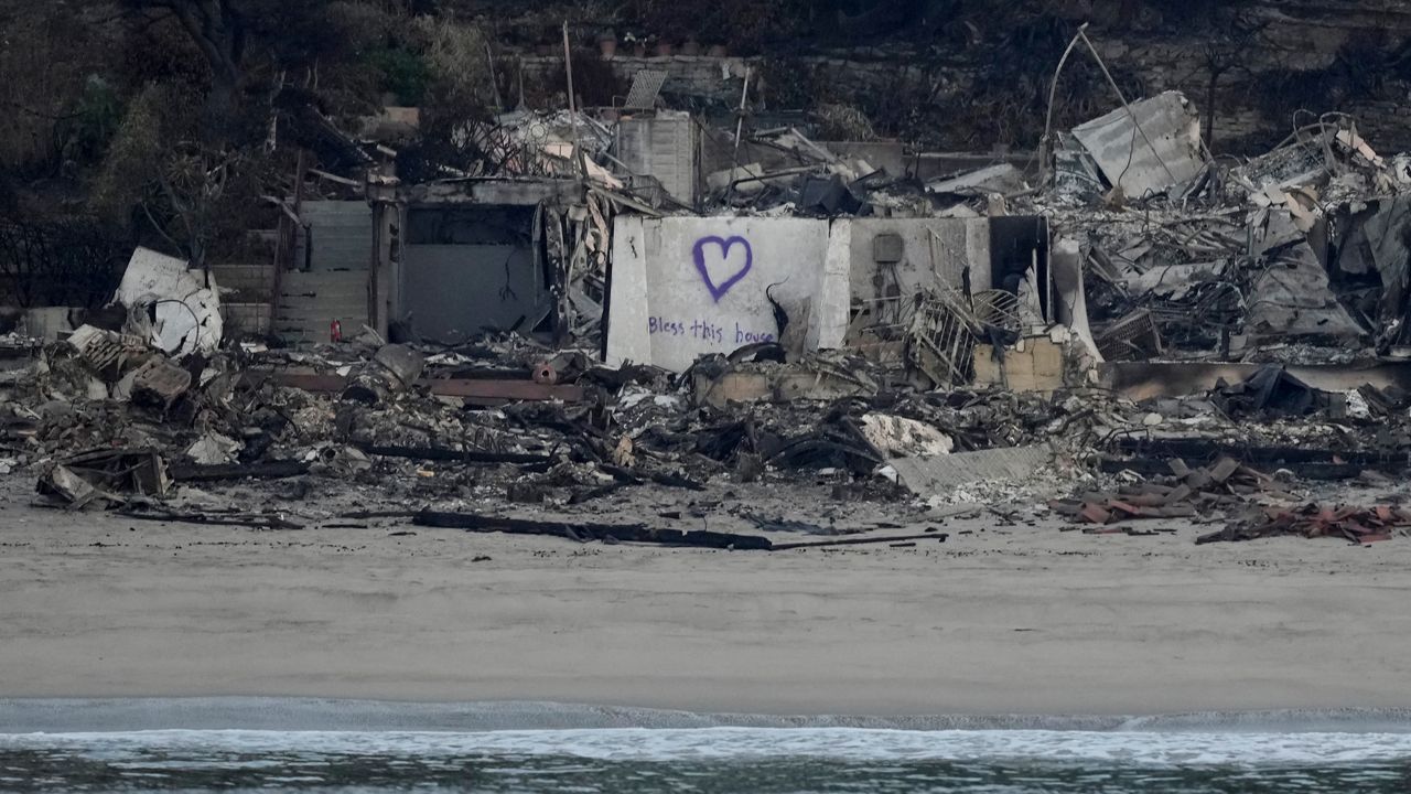
Los Angeles County Fire Department Chief Anthony Marrone said that as of Wednesday morning, the fire had destroyed about 20 homes in the Mount Baldy area, 13 homes in the Wrightwood area and six cabins in the wilderness areas affected by the blaze. There was no more recent update on the number of structures destroyed.
Marrone said no significant injuries were reported and no deaths.
Los Angeles County Sheriff Robert Luna Wednesday that an off-duty sheriff's deputy and two people with him in the fire zone were trapped by the flames near the Mount Baldy area. He said they were not injured, but rescue teams hoping to hoist them to safety were unable to immediately reach the trio due to the heavy smoke in the area, forcing them to simply wait for conditions to improve.
Those three people were safely evacuated from the area about 1:30 p.m. Wednesday, and were treated for minor injuries, according to the Los Angeles County Sheriff's Department.
Although the flames advanced on Mountain High Ski Resort, officials at the popular destination posted on social media Wednesday that "all the main lifts and buildings survived with little to no damage."
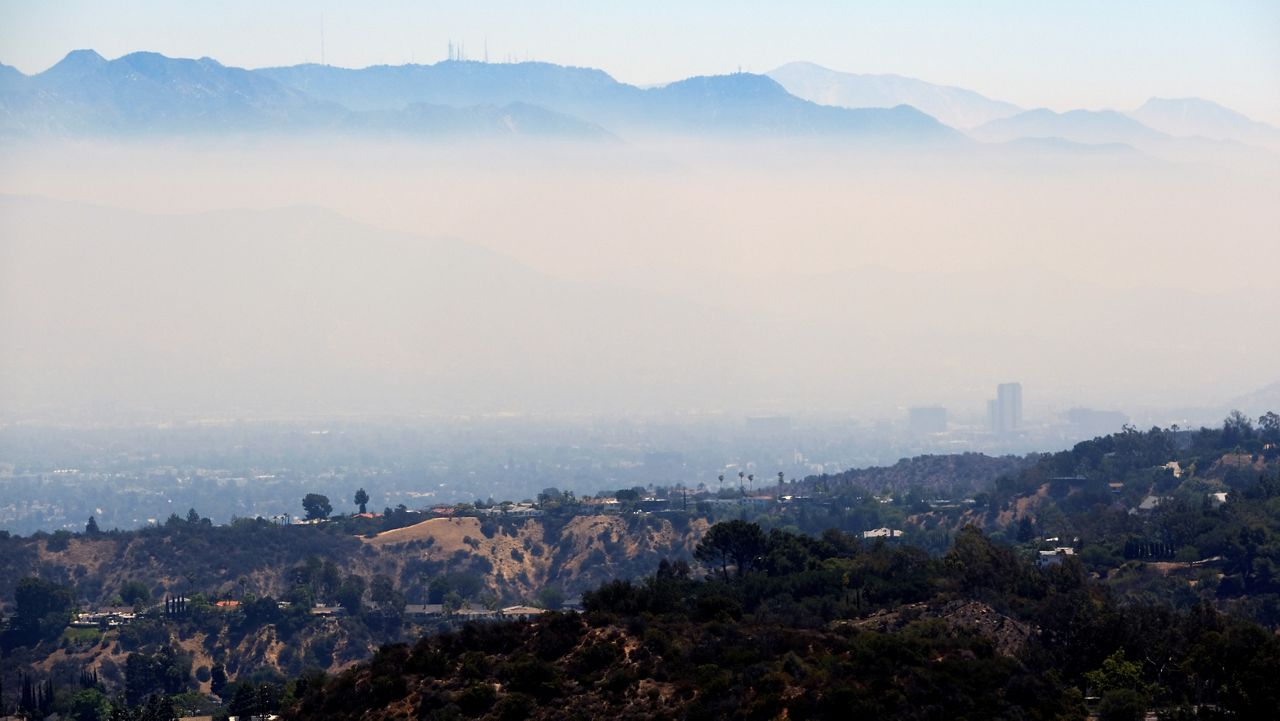
The South Coast Air Quality Management District extended an air quality advisory until at least 11 p.m. Friday for Los Angeles, Orange and Riverside counties due to smoke from three major wildfires burning in the region.
The cause of the Bridge Fire was not immediately known.