


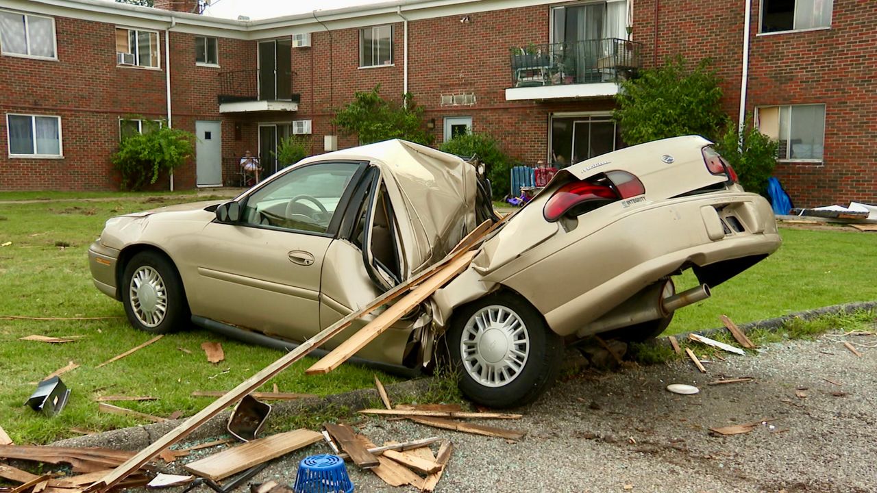
Ohio keeps breaking the record for tornadoes this year, having another four confirmed from Tuesday's storms in northeast Ohio.
But another severe weather event from Tuesday may be something less familiar.
What You Need To Know
- NWS Cleveland confirmed four tornadoes from Aug. 6
- They also confirmed a macroburst
- Microbursts and macrobursts do happen in Ohio
- These straight line winds can get up to 130 mph
Looking at the storms history, there were numerous variables that led to the severe weather set up on Aug. 6.
A stalled boundary just south of the lakeshore on early Tuesday laid the foundation for numerous severe thunderstorms to ride along like train cars on train tracks.
Rounds of storms would come in from the north and northwest.
This was a storm that began in southern Minnesota on Monday evening.
Storms began prompting tornado warnings early in the morning in southern Michigan and even far northwest Ohio.
After an early afternoon lull, the next line of storms came in from the northwest and over Lake Erie, interacting with prime heating of the day.
Dew points and instability may have also increased as the remnants of Tropical Depression Debby loomed to the east.
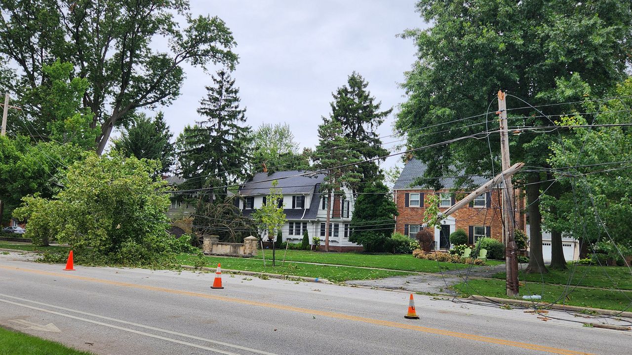
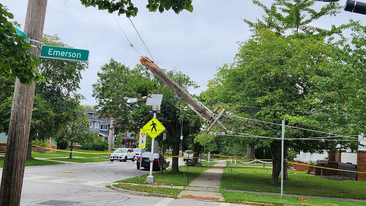
The National Weather Service in Cleveland surveyed widespread damage for two days. The conclusion was four confirmed tornadoes and a macroburst.
NWS says microbursts and macrobursts are common in the area.
More recently, a macroburst happened with the June 13-14, 2022 derecho when a macroburst tracked across Wayne and Holmes counties with winds up to 90 mph near Wooster and Millersburg.
That event also brought tornadoes and widespread damage to power lines and homes.
Another local example of a microburst happened on Nov. 5, 2017 near Boardman in Mahoning County which produced winds up to 100 mph and damaged 20 homes in the area.
A microburst and macroburst produce sinking air or downdrafts in an area.
While a microburst affects a smaller area, less than or equal to 2.5 miles in diameter, with peak winds lasting less than five minutes, macrobursts produce damaging winds for an area more than two and a half miles in diameter with peak winds five to 20 minutes
Winds can get as high as 130 mph and cause the same type of damage as an EF3 tornado.
Storm damage looks very different from a macroburst and a tornado.
NWS said storm surveyors noticed the macroburst uprooted trees, while the tornado areas had snapped trees.
Also, tornado paths were narrow and clear. with trees falling in different directions.
In a year when we have seen more than three times the average for tornadoes, the severe weather event from August 6 was a destructive combination of tornadoes and straight line damaging winds.