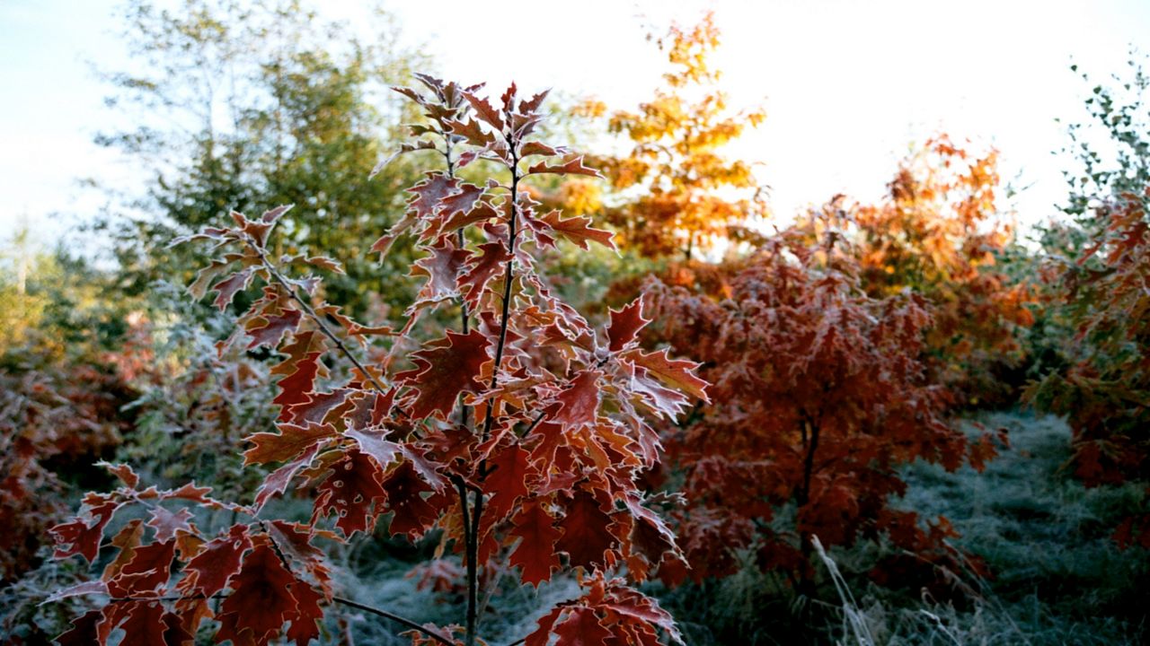
Poof! 80s are gone and 30s aren't far off!
It seems like in the blink of an eye we’ve gone from warm summery days to much cooler conditions. October began with near record temperatures, but we aren't far away from our first typical frost and freeze of the season.
It won't be long before you need winterize your lawn, hose and sprinklers, and protect outdoor plants, as the average first fall freeze dates across Ohio are just weeks away.
First, let’s break down the difference between frost and freeze.
Frost is a layer of ice crystals that form when water vapor on plants condenses and freezes without first becoming dew. Frosts tend to occur late at night or in the early hours of the morning. Tender plants can suffer some damage while the hardier plants survive.
A freeze happens when the temperature falls to 32 degrees. A hard freeze happens when the temperature is at or below 28 degrees for at least four straight hours. This will create widespread damage to plants or kill them altogether.
The ideal overnight low for frost is below about 36 or 37 degrees with fairly clear skies and little to no wind. The ground releases heat overnight, and fewer clouds means more heat escapes back to space. This is called radiational cooling. A freeze can happen from radiational cooling or from a process called advection cooling. This happens when a cold airmass moves in from elsewhere.
A couple other factors affect our chances of a frost or freeze. Little to no wind at night prevents the air from getting stirred up, so the ground temperature can be several degrees cooler than where the temperature observation is taken, typically about six feet above the surface.
Another major factor is location! Valleys are ideal because cold air is heavier than warmer air and settles into valleys and low spots. This also creates a shelter from wind.
Know the alerts
The National Weather Service will issue frost and freeze alerts when such cold isn't yet common and people need to protect plants.
Frost Advisory: Issued when low temperatures are expected to be between 33 to 36 degrees.
Freeze Watch: Issued when the low temperatures are expected to be 32 degrees or colder within the next 24 to 36 hours.
Freeze Warning: Issued when low temperatures are imminently expected to be 32 degrees or colder.
Hard Freeze Warning: Issued when low temperatures are expected to be 28 degrees or colder.
Know the dates
Keep in mind these are averages, and every year varies somewhat.
These averages come from latest climate period from 1991 to 2020.
Our team of meteorologists dives deep into the science of weather and breaks down timely weather data and information. To view more weather and climate stories, check out our weather blogs section.


