OHIO — This week will be bookended by winter storms as the next system is forecast to arrive Friday afternoon.
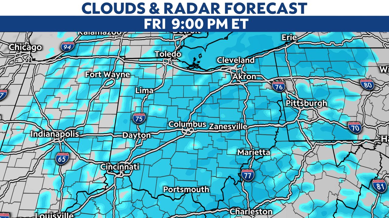
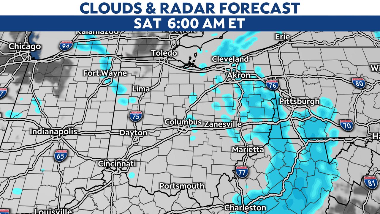
Snow will spread into Ohio from west to east beginning mid-afternoon Friday with the snow increasing in coverage Friday evening. The snow will taper off quickly from west to east during the predawn hours Saturday.
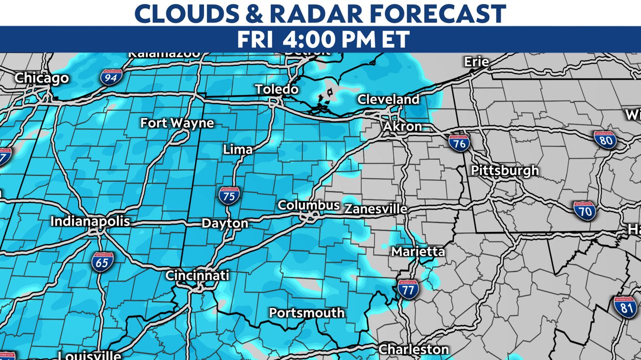
With arctic air already in place, the snow will quickly stick once it starts to fall. The snow like likely slow down the Friday evening commute across most of the state. Travel conditions are expected to deteriorate through Friday evening into Friday.
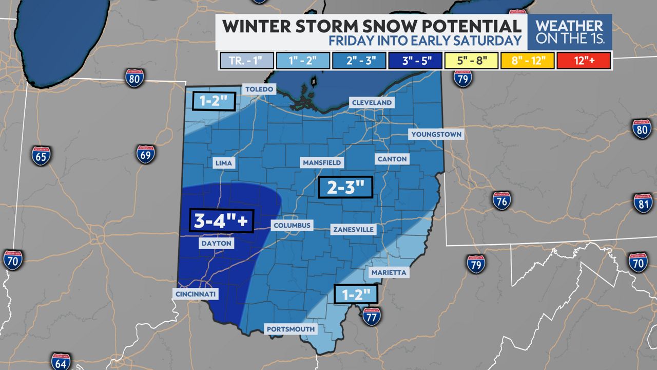
Snowfall totals will not be as much as our last winter storm. However, we can expect a general 1 to 3 inches of accumulation across Ohio. Locally higher amounts of 4 or perhaps 5 inches are certainly possible.
A Winter Weather Advisory will go into effect Friday afternoon and continue through early Saturday across most of central and southern Ohio.
)
While most of the state will be calm over the weekend, lake effect snow showers will be possible in the Snow Belt of northeast Ohio and may add some additional accumulation.
With more wintry conditions in the forecast, keep it tuned to Spectrum News for the very latest weather information.


