


OHIO — We made it through our first cold front, but the second one Wednesday night will bring in Arctic air.
Winds will pick up close to our next cold front late Wednesday and we may see gusts up to 40 mph.
This may add to visibility issues with snow showers, so prepare for blowing snow.
We also have the ingredients for snow squalls late Wednesday night through early Thursday.
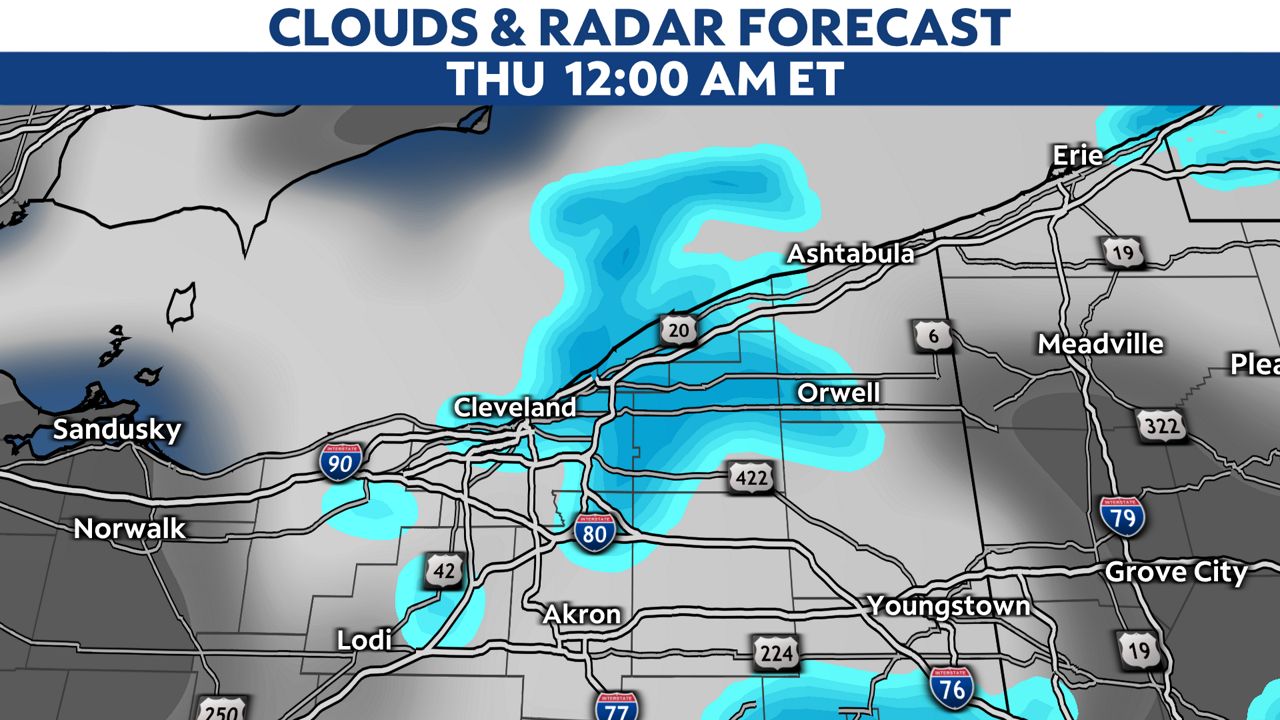
These snow squalls can quickly reduce visibility to ¼ mile or less.
If you have to travel overnight in northern Ohio, prepare for possible snowy, white-out conditions.
A Winter Weather Advisory is posted for Lake and Ashtabula counties for 3-6 inches of snow there.
Erie County is under a Lake Effect Snow Warning for up to a foot of snow.
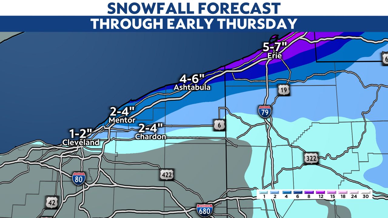
Other spots will see significantly less snowfall totals.
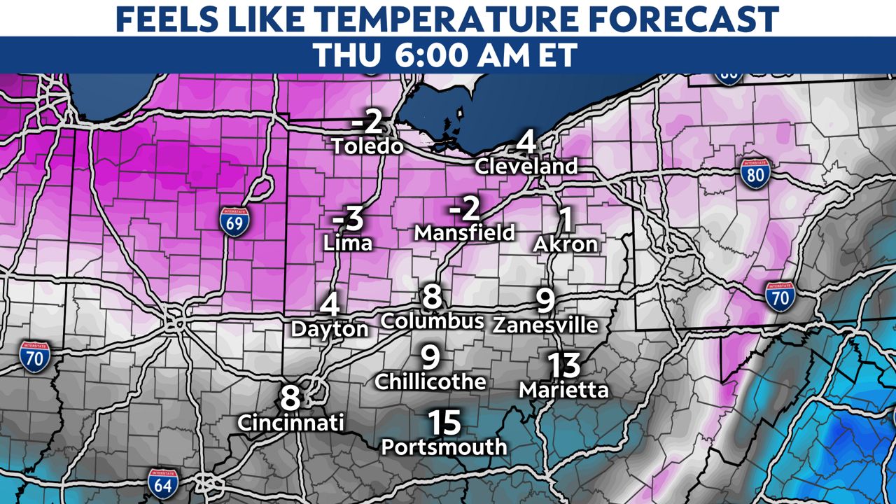
Wind chills will be a factor statewide with some "feels-like" temperatures below zero Thursday morning.
It will feel like it's in the lower 20s south but single digits north during the "warmest" part of the day which is usually 3 p.m. or 4 p.m.
Our temperatures will begin to moderate on Friday so this is not a multi-day wind chill event for us.
Slow down for travel tonight and bundle up for Thursday!