


OHIO — After helping out areas in North Carolina and Florida because of the destruction caused by Hurricane Helene, Ohio Task Force 1 will once again head back to the Sunshine State as another massive hurricane barrels straight for it.
Hurricane Milton quickly grew to a Category 4 in the Gulf of Mexico, becoming one of the strongest hurricanes recorded. Spectrum News 1 meteorologists said it's expected to make landfall on Florida's west coast Wednesday evening.
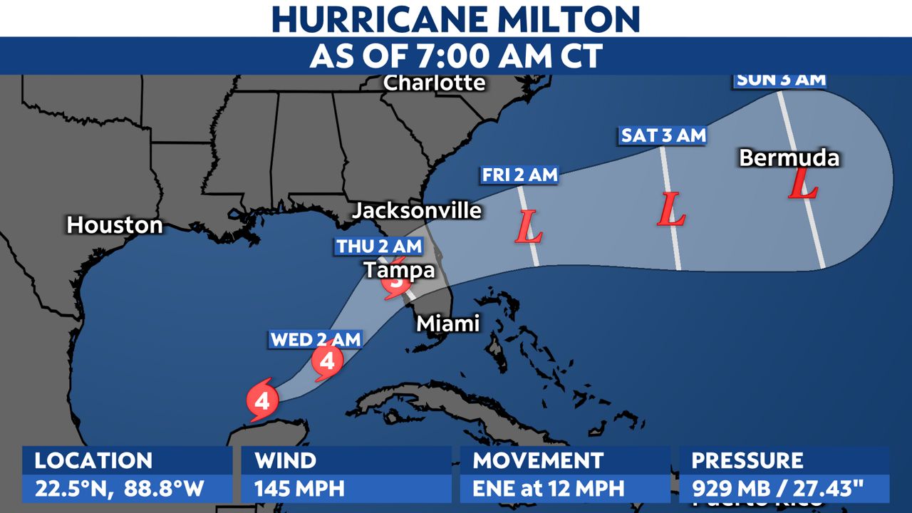
All of central Florida is in a Hurricane Warning, along with parts of the east coast, including Tampa Bay. Projections show it's expected to weaken slightly before landfall as a Category 3, but meteorologists expect it to be extremely strong and damaging, with storm surges expected. At the moment, all hazards are on the table with this storm, and evacuations are underway.
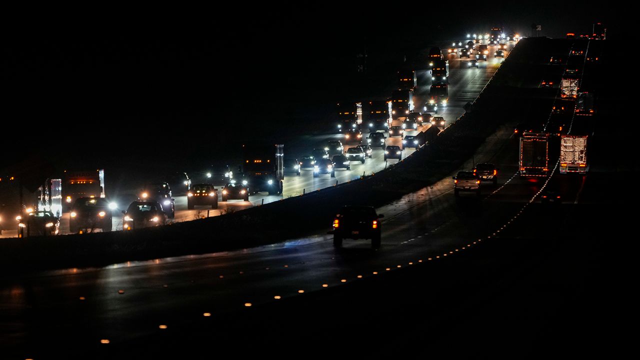
As people are leaving, crews with Ohio Task Force 1 are heading toward the storm.
As of Monday evening, the team arrived in Orlando with a convoy of 16 vehicles, eight members of the original 82-member team who helped with Hurricane Helene and more members are on the way from Dayton.
"Task Force Leader, Jeff Newman, reports that members are well and in good spirits, and hoping for the safety of all those along the Florida Gulf Coast," Ohio Task Force 1 wrote in a Facebook post. "But they’ll be up early this morning preparing for the worst."
Many parts of Florida will experience heavy rain ahead of the storm. The Tampa Bay area is expected to get more than a foot of water for a storm surge.
The latest on Milton can be found here.