


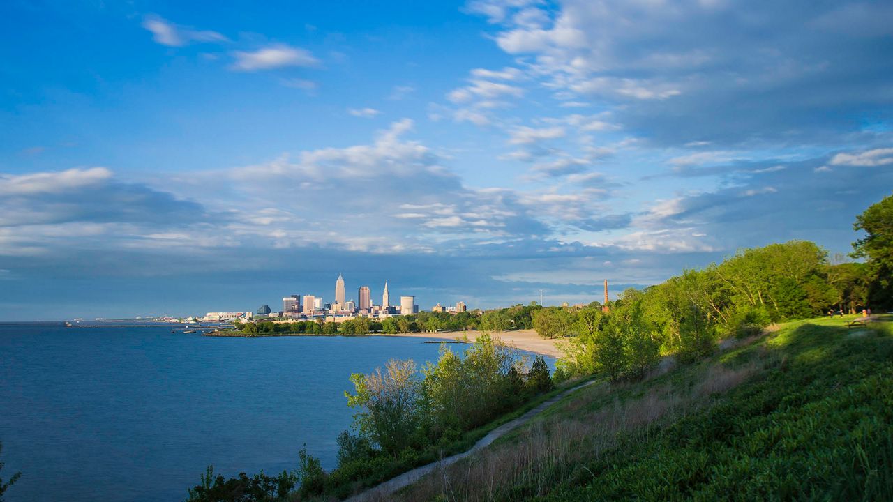
CLEVELAND — Cuyahoga County officials unveiled a report to improve public access to 30 miles of shore along Lake Erie within the county.
The plan outlines a multimodal network of connected paths, all-purpose trails, boardwalks, roads, bridges and public access points across the Lake Erie shoreline, the county said Wednesday. The plan also calls on stabilizing the shoreline from erosion.
To develop the plan, the county’s planning commission and public works department are working with SmithGroup, architecture and engineering consultants.
The 102-page report sets out four goals: establish criteria to help prioritize potential public lakefront investment; identify prototypical shoreline and trail treatments; outline strategies and partnerships to support implementation; define order of magnitude costs for potential improvements.
The report has four new focus areas which officials identified for initial areas for investment:
- Lake-Clifton Bridge
- Lakewood Gold Coast
- East 9th-East 55th Connector
- Beulah Park-Euclid Beach Connector
“I’ve had a vision of connected access for all to our lakefront for many years, and the release of this plan maintains positive momentum on the work we’ve been doing thus far,” said County Executive Armond Budish. “This plan can guide us, partnering municipalities and organizations, and private landowners as we determine opportunities and priorities for creating better public lakefront access for all Cuyahoga County residents.”