


Precipitation will become steady and widespread this evening.
What You Need To Know
- Accumulating snow in northern Ohio could bring 2-4 inches of snow by late tonight
- Parts of central Ohio could get 1/4 inches of ice
- Untreated roads could be dangerous
- Most of Friday will be dry, chilly and cloudy
Most of the state is under a Winter Weather Advisory for travel impacts late Thursday into early Friday.

Our storm will arrive around dinnertime from the southwest/west.
-2)
This is a mainly snow event for northwest Ohio with 2-4 inches of snow there and just a light glaze of ice near the lake.
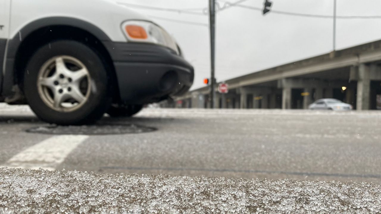
Icing up to 0.25 inches is possible in central Ohio, especially north of I-70. This could cause very slippery road conditions tonight through the overnight.
That type of icing can also cause tree and power line damage.
Some light snow will also fall in central Ohio.
Southern Ohio could pick up a quick 1-inch rainfall from this storm, so flooding will be a concern there. We have certainly had more than enough rain for February.
Currently, February 2022 is the 7th wettest February on record for Dayton (4.68 inches), and this month is the 8th rainiest on record for Columbus (5.31 inches).
Cincinnati has had 5.56 inches of rain but is in 18th place.
Rain and snow will taper off overnight west to east, and most of Friday will be cloudy and cool.
)
However, icy spots and re-freezing is possible on the roads, especially early tomorrow.