


- A Tropical Storm Warning is in effect for the Louisiana coast from the Mouth of the Pearl River to Morgan City.
- A Storm Surge Warning is now in effect for the Louisiana coast from the Mouth of the Atchafalaya River to Shell Beach.
- A Tropical Storm Watch is in effect for the Mississippi coast east of the Mouth of the Pearl River to the Mississippi / Alabama state line, and for Lake Pontchartrain and Lake Maurepas including metropolitan New Orleans
- A Storm Surge Watch is in effect for the Mississippi coast from the Mouth of the Pearl River to the Mississippi / Alabama state line.
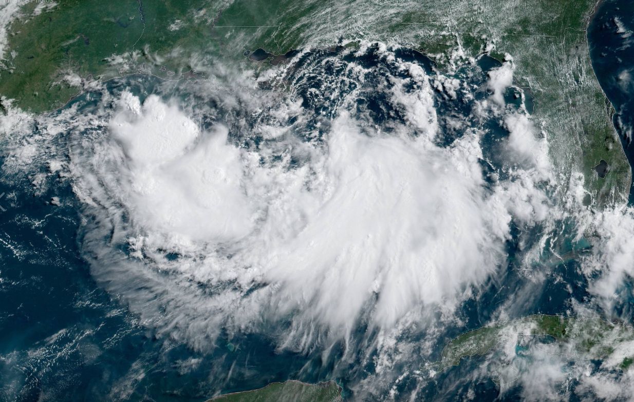
As of 11am ET Thursday, Tropical Storm Barry has become the Atlantic's second named storm of the 2019 hurricane season. Barry is moving west at about 5 mph. The center of Barry will be near central or southeastern coast of Louisiana Friday night or Saturday. Additional strengthening is possible and Barry could be come a category 1 hurricane by late Friday or early Saturday.
The biggest threat from this storm will likely come in the form of flooding, with as much as 10-15" of rain forecast for parts of Louisiana. Flooding has already been seen in New Orleans Wednesday, with strong and severe storms producing heavy rain in the city.
Some models are hinting at some of the tropical moisture from this storm bringing rain to Ohio toward the middle of next week. The meteorologists here at Spectrum News 1 will continue to monitor this storm.
