


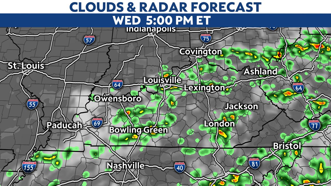
Expect more rounds of locally heavy downpours and thunderstorms into the evening.
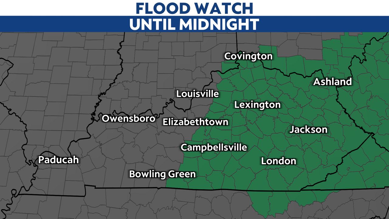
A Flood Watch is still in place until midnight for the eastern half of Kentucky.
Downpours will continue to develop. The most widespread storms will be in central and eastern Kentucky.
These showers will have periodic heavy downpours that will lead to rain accumulations of a quarter to half an inch in Louisville, northern, and western Kentucky with over an inch possible in spots in southeastern parts of the state. Those areas have a saturated ground that cannot take any more water.

This is what the radar may look like later today.
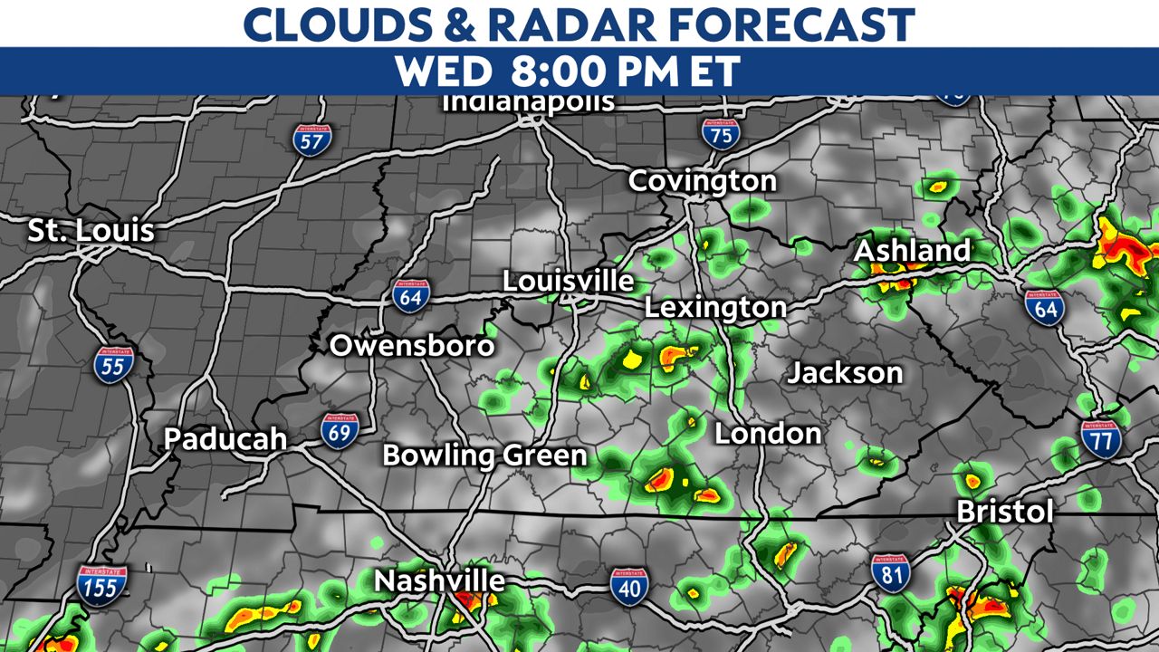
The rain will begin to taper off late this evening into tonight with the loss of the daytime heating.
As always, you can check your latest forecast and track the storms on radar. Sign up to receive weather notifications here.