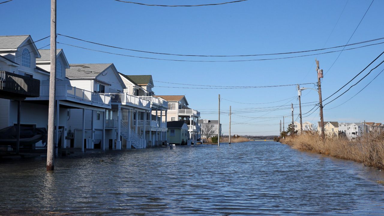
It's hard to imagine some of the effects of climate change since those effects may take years to happen.
Sea level rise is one of the hardest to picture. We’re already seeing more frequent coastal flooding, but what exactly will the rising ocean look like many years from now? New research from Climate Central helps answer that.
Let’s explore two different situations.
In the first, we cut emissions by about half by 2030, leading to 1.5 degrees Celsius of warming, or about 2.7 degrees Fahrenheit. In the second, climate pollution continues on the current path, causing global temperatures to rise another 3 degrees Celsius, or about 5.4 degrees Fahrenheit.
A quick note: Five degrees of warming doesn’t sound like much, since your neighborhood has much larger changes than that pretty much every day. It helps to think of the planet’s temperature as your own body temperature. If it went up by five degrees, you’d have an awfully high fever, a clear sign of trouble.
In the first scenario, scientists expect sea levels to rise by about nine-and-a-half feet–more in some areas, less in others. Not surprisingly, it’s worse in the second scenario, possibly affecting areas where as many as 800 million people currently live. This rise would happen over centuries, but we’re already on our way.
So, what does the difference in sea level rise actually look like between those two situations?
Scenario 1: At high tide, water would encroach the parking lots of the Space Center.
Scenario 2: The facility would have feet of water inside.
Scenario 1: Water is a couple of blocks down N. Florida Avenue at high tide.
Scenario 2: Water surrounds the church, reaching above the steps.
Scenario 1: High tide shrinks Liberty Island and Flagpole Plaza is mostly underwater.
Scenario 2: Most of Liberty Island disappears. Notice, too, the water’s expanse in the distance.
Go here to look at interactive photo sliders with visuals from around the globe. You can switch between a list or a map view to help you explore.
Climate Central’s maps give another sense of where the water may reach at high tide under the different situations.
Look at how much of Florida would deal with sea level rise in the coming centuries.
North Carolina’s largest loss would happen in the Outer Banks region.
The rising sea levels would reshape the New York City metro as well.
It will take many decades, if not a couple of centuries, for some of these outcomes to happen. Like a train applying its brakes, changes to our emissions don’t have immediate results.


