


A mobile app created by American Printing House for the Blind is mapping Louisville from the inside out. An addition to the Nearby Explorer App called the Indoor Explorer is helping people who are blind, navigate the city.
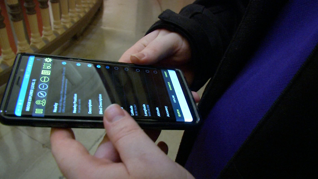
The Nearby app helps people navigate on the street level while Indoor function gives users audible prompts and directions inside “mapped,” buildings. “It’s going to describe what’s around you. We actually had mappers come in and put beacons in,” explains Joseph Hodge. Hodge works in quality assurance at American Printing House. He also uses the app. Hodge, 32, has been without sight for nearly his entire life.
On Thursday Hodge explored Metro Hall the latest Louisville destination to be mapped and added to the network. “I wish I could put this anywhere. Like when I got off the plane in Las Vegas I wish they had it so I could continue my journey on my own,” Hodge says. Metro Hall is one of 13 mapped locations in the city. Bluetooth beacons are installed throughout the building translating its blueprints into audio directions. Bluetooth technology makes navigation inside structures possible. “It allows us to pinpoint accuracy in a space because GPS does not penetrate buildings,” says Grace Simrall from the Office of Civic Innovation. The mayor’s office partnered with American Printing House to add Metro Hall to the network.
Other mapped locations include: Louisville Muhammad International Airport, KFC Yum Center, Science Center, Actors Theatre and other locations.
As Hodge explores the historic building he points out how different navigating Louisville was just a few years ago. “Now I can actually walk around on my own and do some of my own self discovering and education on my own,” Hodge says.