


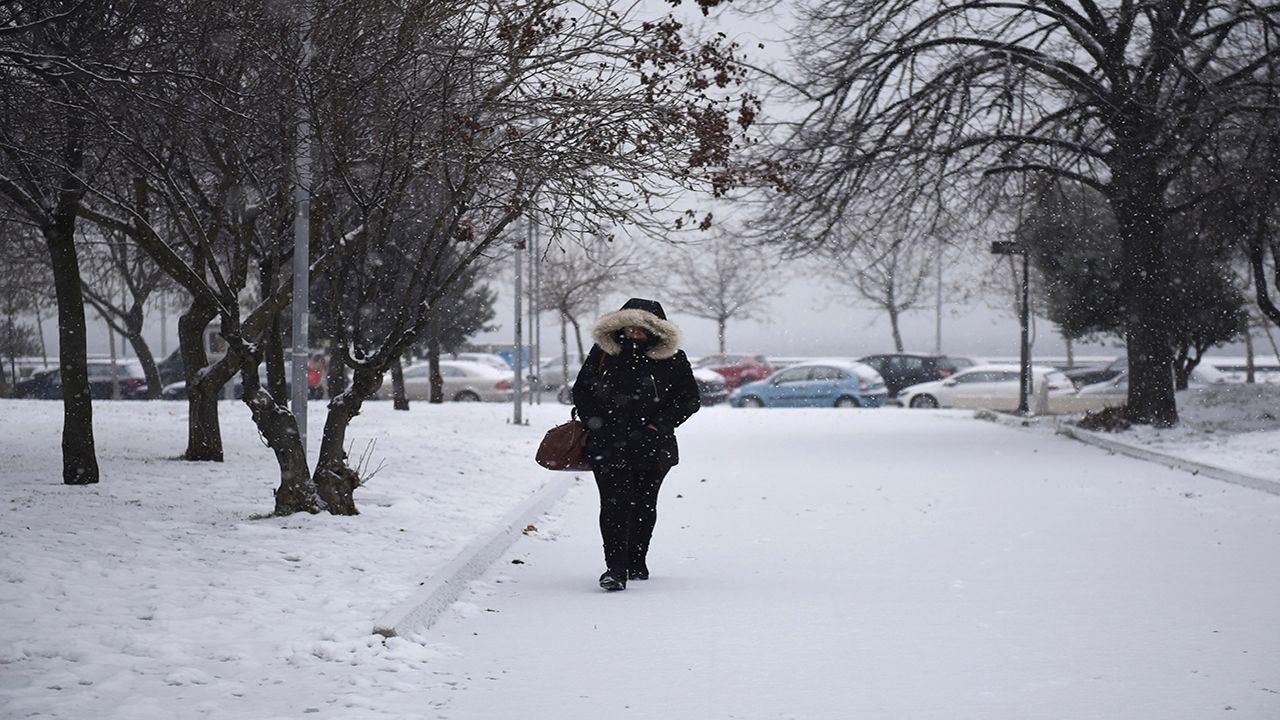
KENTUCKY — Across the commonwealth, we're expecting two rounds of heavy winter weather. The first one will begin overnight Sunday and last into the first few hours of Monday. It will bring up to two inches of snow in the northern parts of the state, while more southern areas could see up to a quarter inch of sleet or ice.
Round two will arrive by the afternoon hours of Monday with more intense snow showers. Flakes will be larger and more frequent. This will last into Monday evening, and possibly even into Tuesday morning. Accumulation totals could easily reach eight inches or more in some locations. Additionally, our lack of sunshine and highs staying below freezing will keep all this snowfall on the ground for several days.
Ahead of the storm, mayors, officials, and Gov. Andy Beshear are warning Kentuckians and asking them to prepare for heavy snowfall and hazardous conditions over the next few days.
“We need Kentuckians to prepare for another two rounds of storms bringing more snow, ice and freezing temperatures,” Beshear said in a press release on Sunday. “As these storms arrive, we need Kentuckians to make a plan for their families to stay safe, warm and, if possible, off the roads.”
Power outages are possible due to new snow and previous ice accumulations on trees and power lines. As of 2 p.m. on Sunday, 15,585 Kentuckians were still out of power from last week's storm.
Officials with the Kentucky State Police said they're making preparations and taking precautions ahead of the storm. In a press release sent on Sunday, officials said state troopers will be out on the roads checking for stranded motorists and abandoned vehicles.
Any vehicle left abandoned will have to be towed to allow for snow removal.
"KSP urges the public not to travel with the exception of emergencies," the press release said. "If you must travel, remember to keep your phones charged in the event you get stranded. Also, keep blankets, extra clothing, water, and snacks in your vehicle."
Louisville Mayor Greg Fischer said the city expects heavy snow, sleet, and freezing rain starting tonight. Combined with cold temperatures for most of the week, the situation doesn't look good.
"We may be dealing with the impact of more snow and ice for the next few days, and we still have snow and ice on the ground from the weather system that came through last week,” Fischer said. “All of this could create dangerous road conditions and power outages, so we’re working with our community partners to keep all our residents safe. Especially when freezing rain starts to fall, I ask everyone to please stay home and avoid traveling unless absolutely necessary for food, medicine, medical care or work.”
Roughly 3,000 tons of salt were used during last week’s snow-and-ice event, but the city is well-supplied to get the city through the winter season. The city started the season with 49,000 tons of salt, and an estimated nearly 35,000 tons still remain in storage ready for use.
“I want to thank our Snow Team for the great job they did before, during and after the winter weather system that came through in the middle of last week,” said the Mayor, “and I’m confident they are ready for what comes next.”
Stay up-to-date with the latest forecasts from Spectrum News here.