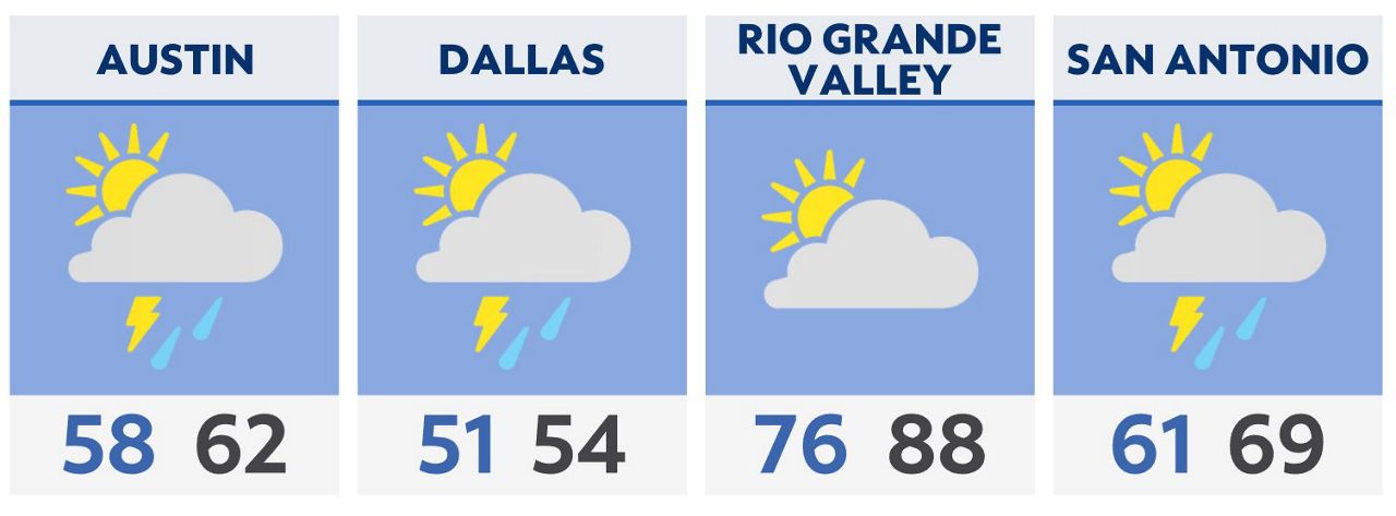
A weak cold front has stalled across central Texas. That means deep moisture persists across areas east of I-35, and cooler air west of the interstate. This boundary will provide a focus for storm development through Friday night and Saturday morning.
Early Saturday, an upper disturbance is expected to pass over North Texas in the pre-dawn hours. This will likely spark a few potentially severe storms in the DFW area in the morning. Some of these storms could be severe with large hail, damaging winds and an isolated tornado, especially in northeast Texas.
Strong storms are expected to form near the Rio Grande Plains around Del Rio and march eastward through central and south-central Texas at that same time. Large hail is the greatest concern there.
A cold front sweeps southward Saturday afternoon, bring a late season chill to most of Texas. Sunday morning may bring “feels like” temperatures in the low 30s and upper 20s. By Monday morning, North Texas could see some upper 30s with low 40s in central Texas and 50s to the south.
Click here for the latest 7 Day Forecast | Click here to share your weather photos


