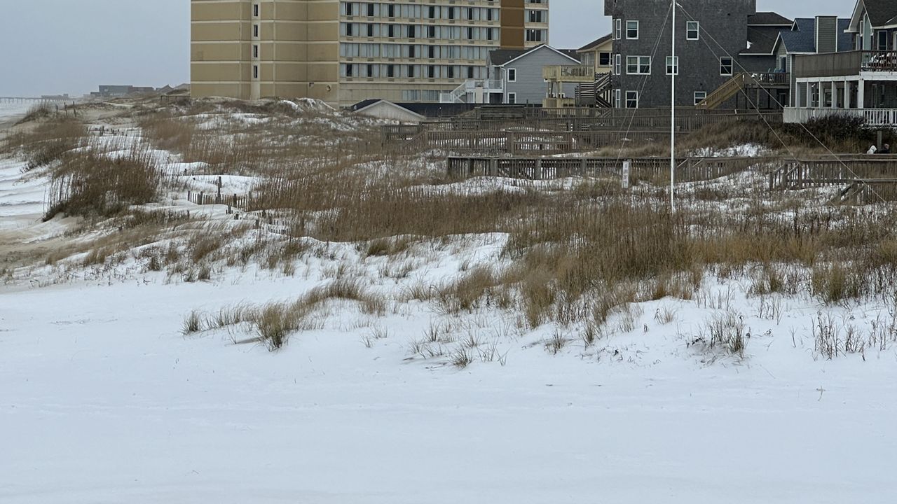
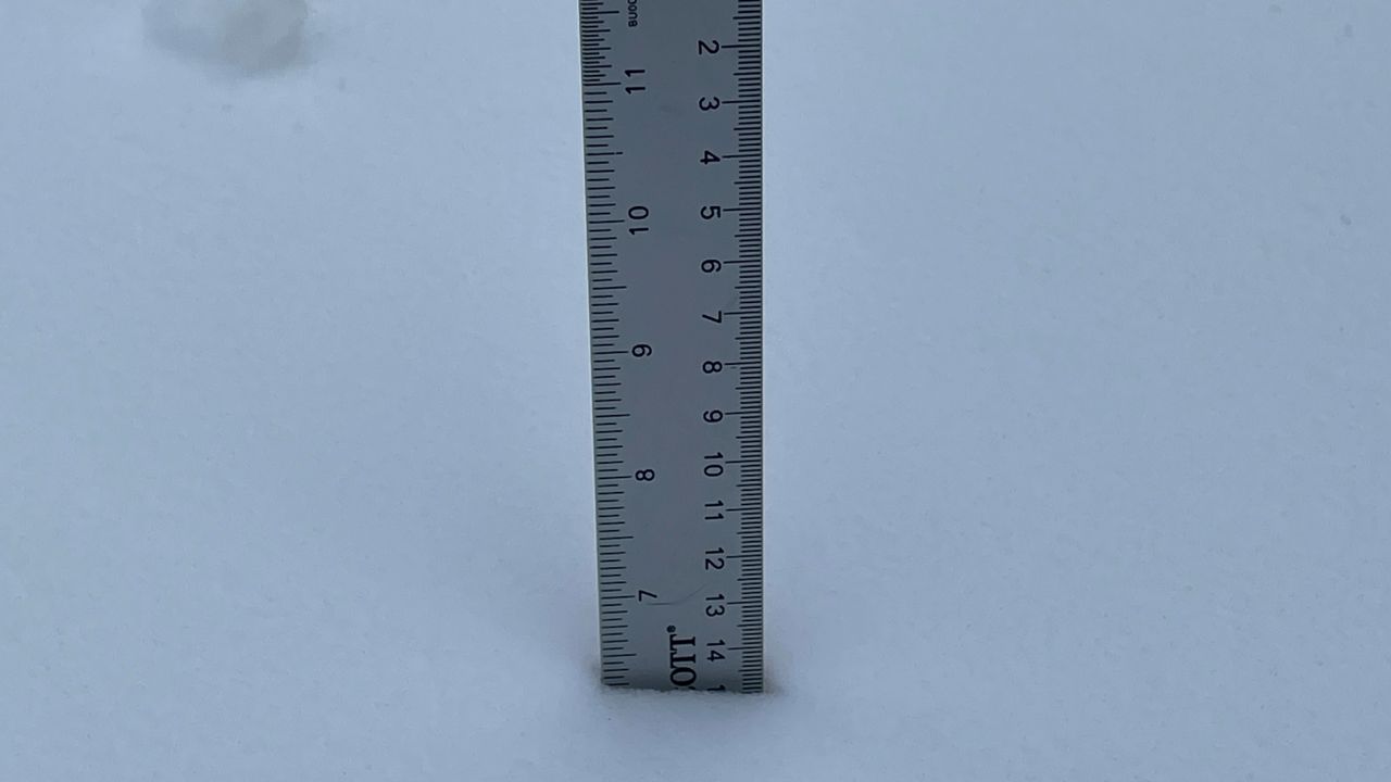
It definitely feels like January across most of North Carolina as the week begins.
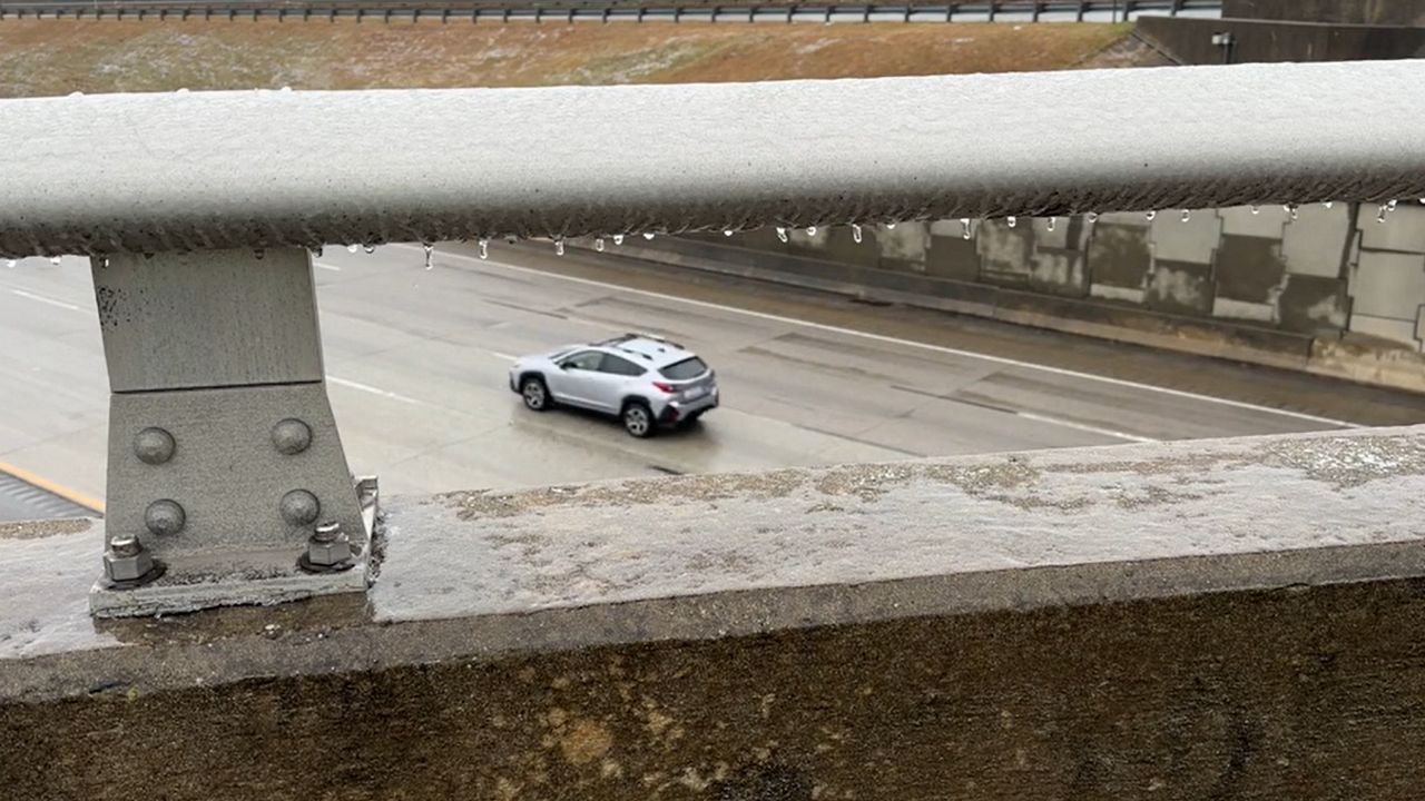
A light wintry mix around parts of the Piedmont this morning created issues on some roads with a light glazing. The Greensboro Police Department reported responding to a number of crashes, mostly on bridges and overpasses.
This morning's precipitation is now ending from west to east through the afternoon. However, snow showers are expected to move back into the mountains through late day and tonight.
In other parts of North Carolina, warmer air has moved in with today's rain creating a wide range in temperatures.
Wilmington has been well into the 60s since mid-morning along with strong wind gusts.
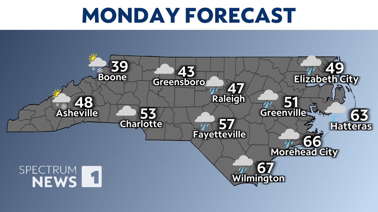
As Monday's precipitation exits the state from west to east through the afternoon, much of the rest of the workweek will be dry.
Some of the coldest air so far this winter season will settle in over the next few days.
The next chance for precipitation will arrive as we move into the weekend. Snow or a wintry mix will be possible in at least some areas from Friday night into Saturday. However, the exact areas that see wintry precipitation or rain will all be determined by the track of the storm system. Since that is several days away, it is much too early to forecast any details on the forecast.
Those details should become clearer through the week. Stay tuned to Weather on the 1s on Spectrum News 1 for updates.
Our team of meteorologists dives deep into the science of weather and breaks down timely weather data and information. To view more weather and climate stories, check out our weather blogs section.


