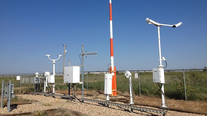
When you watch your local news or check your weather app, most of the time the temperature you see is coming from the airport. But why are official weather observation sites at airports if nobody lives there?
One of the primary reasons is aviation safety. The current conditions at an airport let pilots know what’s happening on the ground during takeoff and landing, most notably winds and visibility.
Even though we consider flying as an extremely safe mode of travel, 53% of fatal accidents occur during takeoff and landing according to a study by the Royal Netherlands Aerospace Centre.
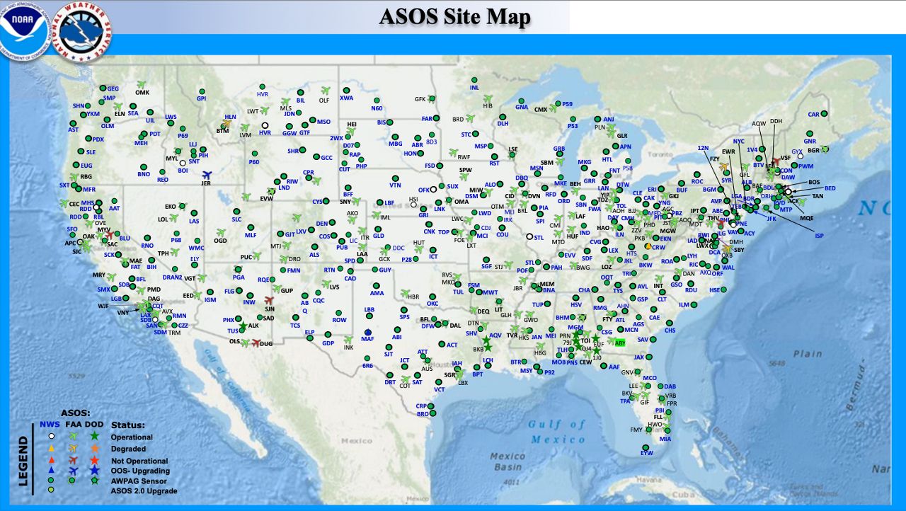
The Federal Aviation Administration (FAA) teams up with the National Weather Service (NWS) to install weather stations at airports around the country. Together, they operate over 900 ASOS (automated surface observing systems) across the U.S., many of them at airports.

The Department of Defense (DOD) installs ASOS at military bases, helping provide critical weather information for flight operations. The joint effort serves as the United States’ primary weather observation network.
Aside from flight safety, airports are an ideal environment for weather observations without having to worry about obstruction. There are some requirements for official weather readings, and it makes urban environments difficult to get accurate data.
Here are some of the National Weather Service standards for equipment, sitting and exposure:
Temperature, rainfall and winds aren’t the only elements that weather stations report. They also report sky conditions, precipitation type, visibility, pressure and humidity.
Airports provide lots of open, natural land, so weather observations shouldn’t get contaminated by buildings or urban heating like they would be in bigger cities. But what if the environment around the airport changes?
Surrounding urbanization could exacerbate temperatures, artificially inflating the numbers based on the conditions. That is a problem at Tampa International Airport.
According to Bay News 9 Meteorologist Josh Linker, it makes forecasting the temperatures for Tampa difficult when temperatures at the official sensor can be 5+ degrees higher than all the other surrounding observation sites around Tampa Bay.
Over the years, the airport sensor has become exposed to more development, replacing natural land cover. Surrounding highways expanded and a new rental car center was built less than a decade ago in a previously open grass field.

According to Linker, not only does this combination create a localized urban heat island, but the rental car center can block out east or east-northeast winds preventing nighttime cooling. You can learn more about it here.
Since these stations are used for official records, it’s important to make sure they’re calibrated and placed in consistent locations, including the surrounding environment, so the data is comparable.
Next time you’re at the airport, be on the lookout for a weather station. You may see where the weather on your phone is coming from.
Our team of meteorologists dive deep into the science of weather and break down timely weather data and information. To view more weather and climate stories, check out our weather blogs section.


