OHIO — Cold and snowy conditions have returned to Ohio. After very heavy rain lead to flooding Saturday night into Sunday morning in southern Ohio, a round of accumulating snow coated much of the state for the end of the weekend.
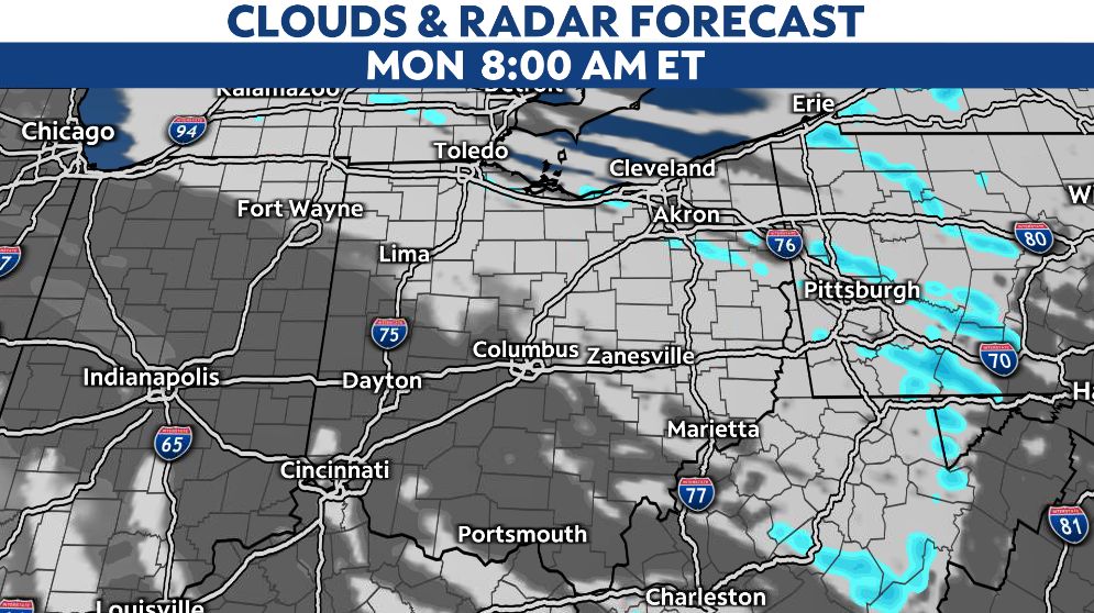
Scattered showers remain across the state Sunday evening. This will begin to taper off in many areas aside from northeast Ohio.
Additional light accumulations are expected in hit-or-miss fashion around the state. However, the potential for a couple more inches of snow will persist in northeast Ohio through Monday morning.
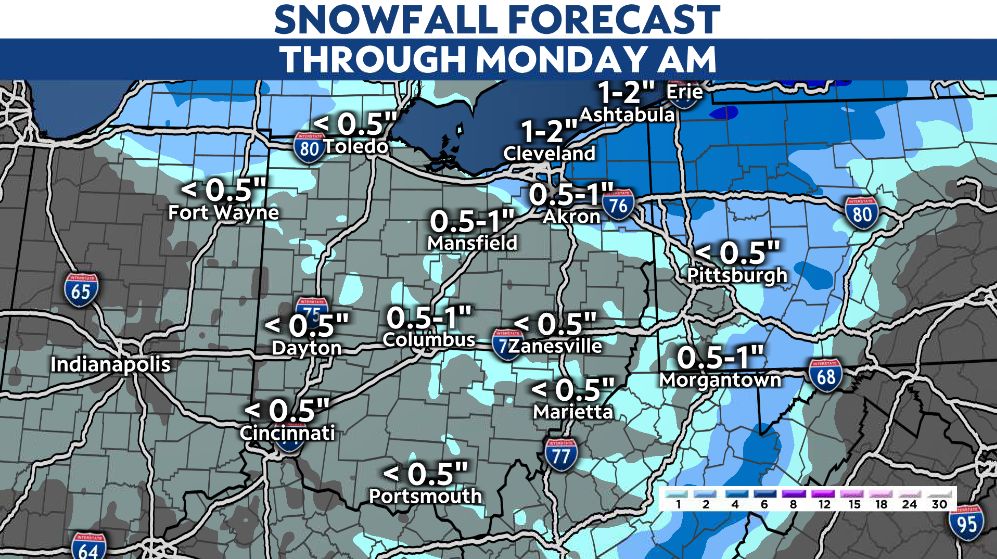
Roads and sidewalks will remain slick in many areas as temperatures tumble down into the teens for lows on Monday morning. Gusty northwest winds will create some blowing and drifting concerns in open and rural areas.
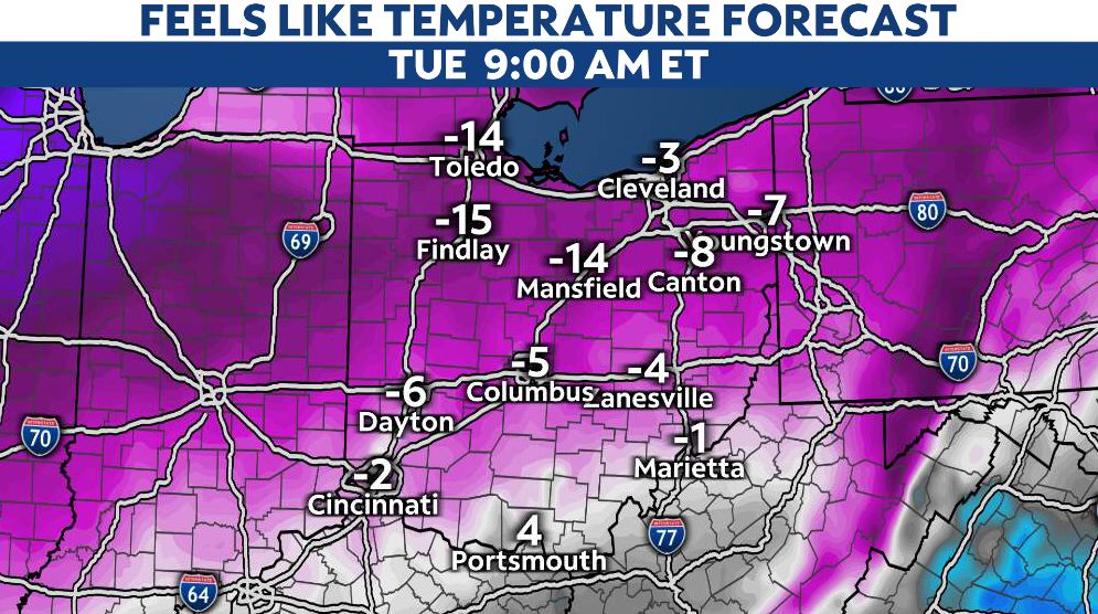
The wind will play a big factor in the days ahead. Not only will we be locked in with an arctic air mass, wind chill values will be making it feel even colder.
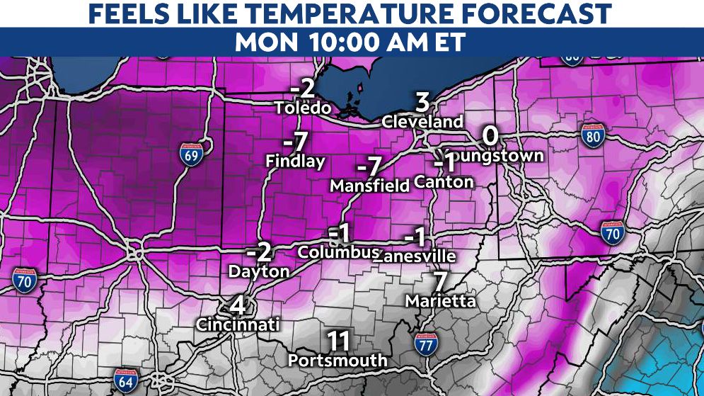
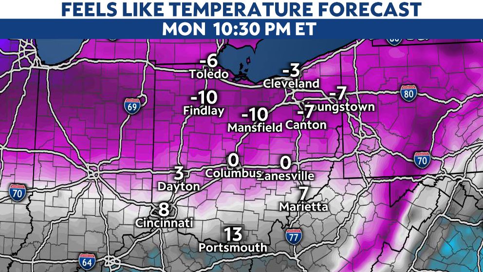
At times, our wind chill or "feels-like" temperature will drop below zero on Monday morning, then again Monday night into Tuesday morning.
Make sure you bundle up when heading outside during the next few days.