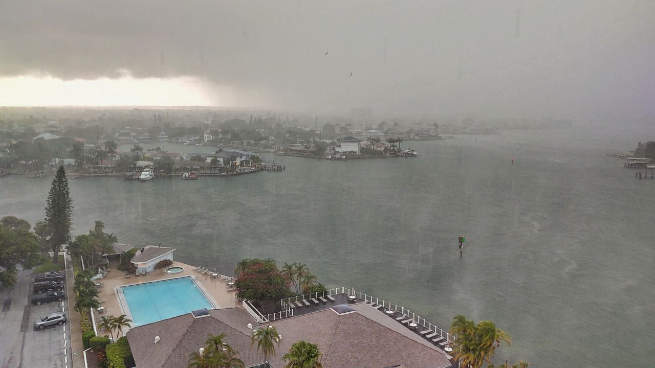
A disturbance in the eastern Gulf of Mexico is bringing heavy rainfall to the Sunshine State this week.
Deep tropical moisture will bring some much-needed rainfall and drought relief to parts of Florida, but also bring the potential for flooding.
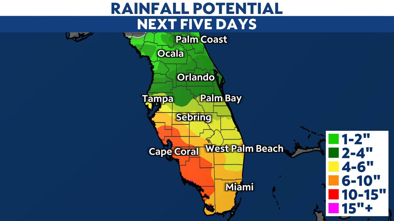
Rainfall totals will be highest across southwest Florida, around Fort Myers and Cape Coral. Amounts could exceed a foot in some areas, with around 10 to 15 inches of rainfall expected.
South Florida, including Miami, will get up to 6 to 10 inches of rainfall this week. Central Florida will see lower totals, with anywhere from 2 to 6 inches along the I-4 corridor.
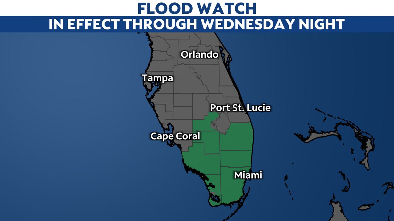
South Florida is under a Flood Watch through Wednesday night. That watch could be expanded or extended this week.
Periods of widespread showers and thunderstorms are expected to continue through most of this week.
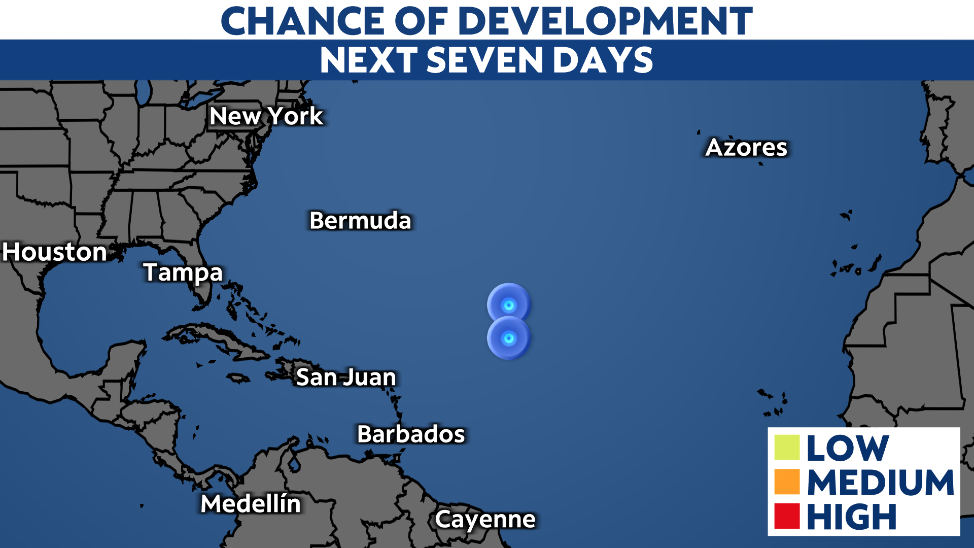
The wet weather is the result of an area of low pressure developing in the eastern Gulf of Mexico. The National Hurricane Center says it has low tropical development odds, although it’s unlikely to develop into a depression or named storm.
The low pressure system will drift northeastward across the state later this week, pushing into the western Atlantic off the southeastern U.S. Coast. Conditions will be unfavorable for it to develop into a named tropical system.
Regardless of tropical development, there is deep tropical moisture being pushed inland, which could cause life-threatening impacts if flash flooding occurs.
The rain is a welcome occurrence for parts of Florida. Following one of the warmest and driest springs on record, worsening drought conditions have been expanding across the state.
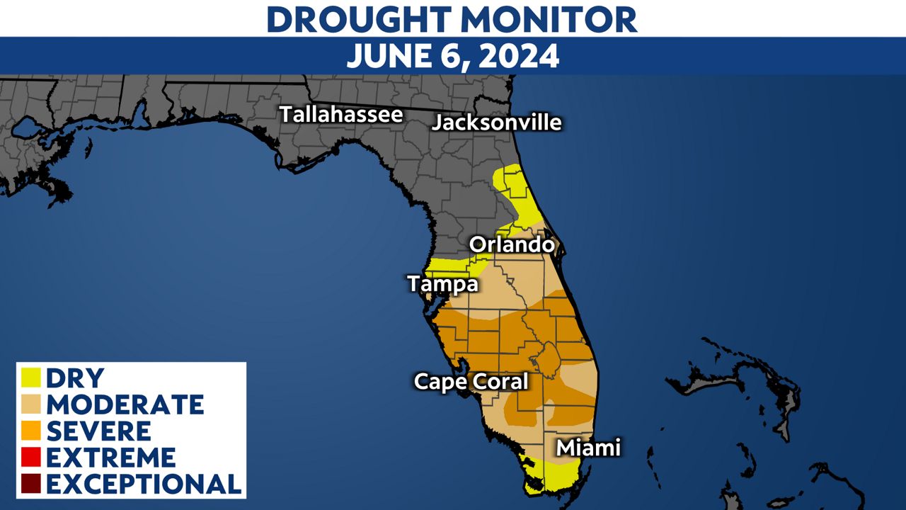
Rainfall this week may not be a complete drought-buster for the state, but it’s marking the beginning of Florida’s rainy season, and more relief is likely on the way.
Our team of meteorologists dives deep into the science of weather and breaks down timely weather data and information. To view more weather and climate stories, check out our weather blogs section.


