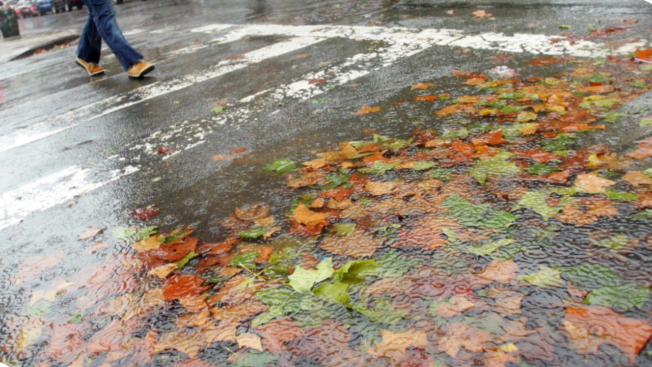
A weather system continues its trek across the eastern United States through Monday, possibly affecting travel before Thanksgiving.
Rain is exiting the Ohio Valley Sunday evening as it slides into parts of the Northeast and North Carolina into Sunday tonight. The bulk of the showers look to end Monday morning in most spots, but probably linger into the afternoon across parts of Maine and North Carolina.
- Track the rain and snow with our interactive radar
Many places will be on the dry side on Tuesday. However, with much colder air wrapping in over Lake Erie and Lake Ontario, parts of Upstate New York deal with lake-effect snow showers.
Go through the slideshow below to step through what the clouds and radar may look like as this system moves through.
This system will also cause big temperature swings again. Ahead of the system, readings will be near to above normal for late November. They'll drop after the system again as chillier air spreads in.
Now is a good time to opt-in to receive severe weather alerts. These alert you when rain and snow is in your area in addition to any other watches and warnings that are issued.
Share your weather photos as the rain moves into your area.


