


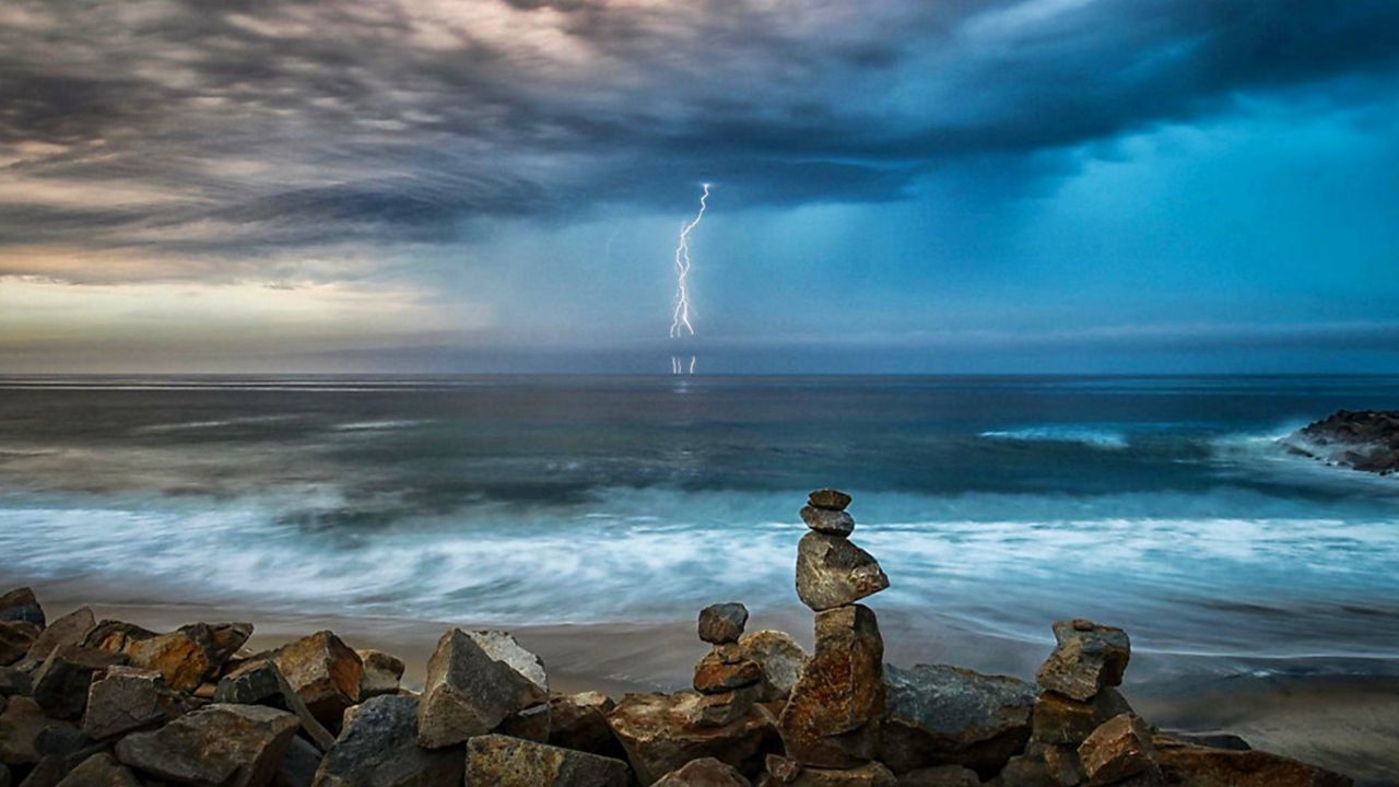
The past few weeks have been very active in the Southwest with thunderstorm chances in the forecast nearly every day. However, thunderstorms in Southern California have only occurred a handful of times and there is one glaring reason why.
Moisture, instability and lift are the three ingredients necessary for thunderstorm development. The fuel needed for thunderstorms to develop are moisture and instability, while lift is like pressing the ignition to start the storm.
The environment in Southern California typically lacks at least one of these ingredients, or the ingredients are borderline supportive for thunderstorm development.
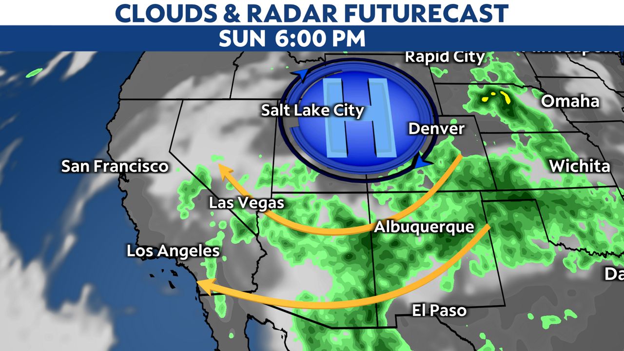
A semi-permanent upper-level high pressure has recently moved farther north than it usually does this time of year. This upper-high's placement has opened the door to monsoonal moisture flow in the Southwest, including here in Southern California.
This pattern will develop again Sunday and continue through most of the upcoming week.
The monsoon is simply a shift in the prevailing wind flow at about 18,000 feet in the atmosphere. Most of the year, and even into June, the upper-level wind flow is from the west in California.
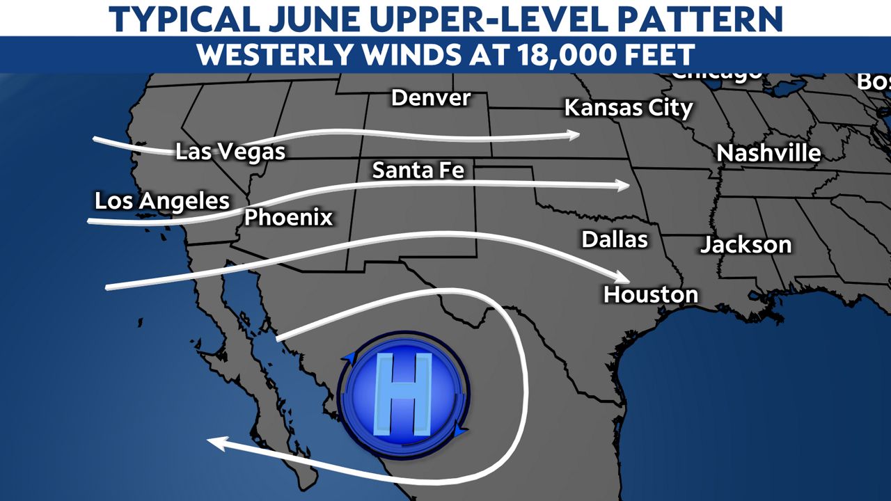
The upper-level wind pattern shifts in July as a semi-permanent upper-high migrates north, usually over Texas.
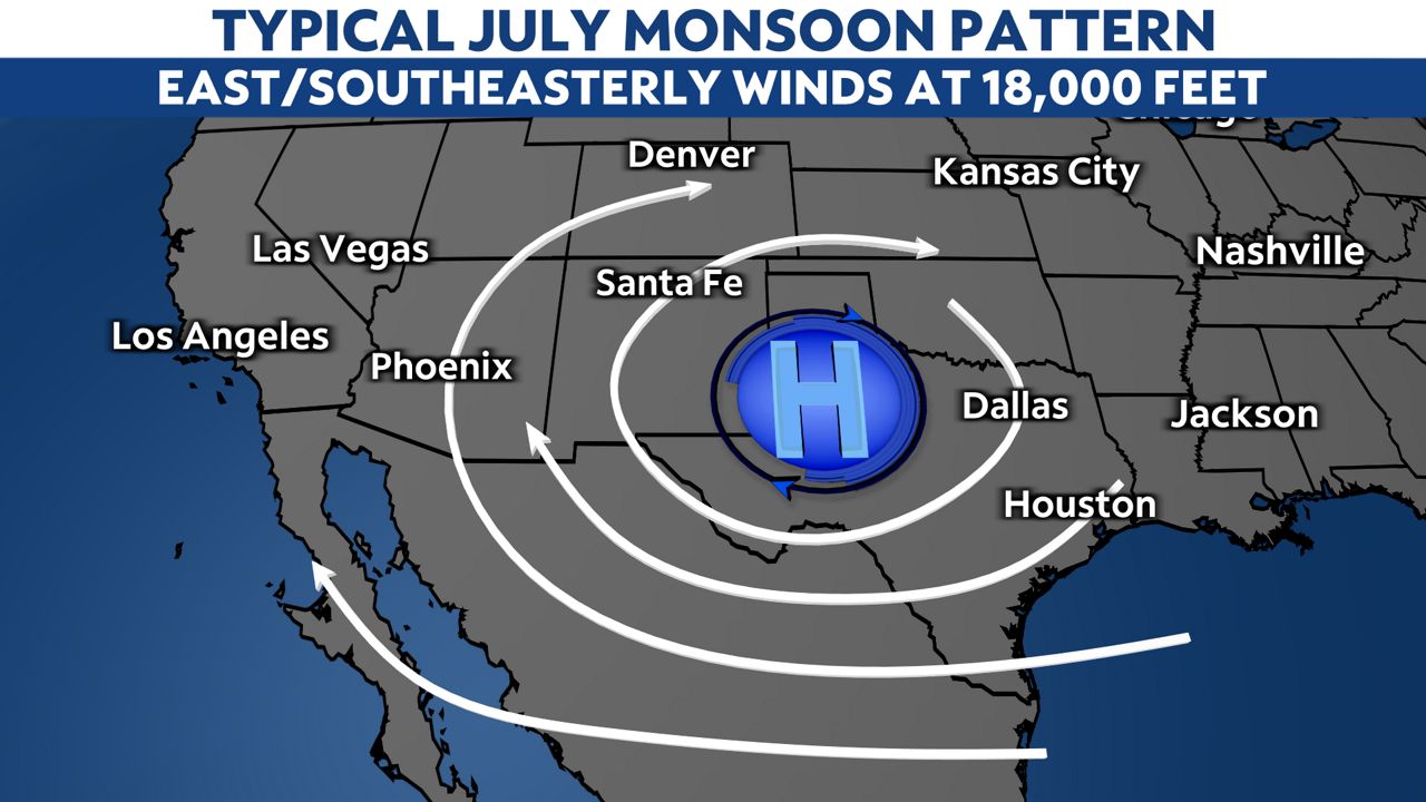
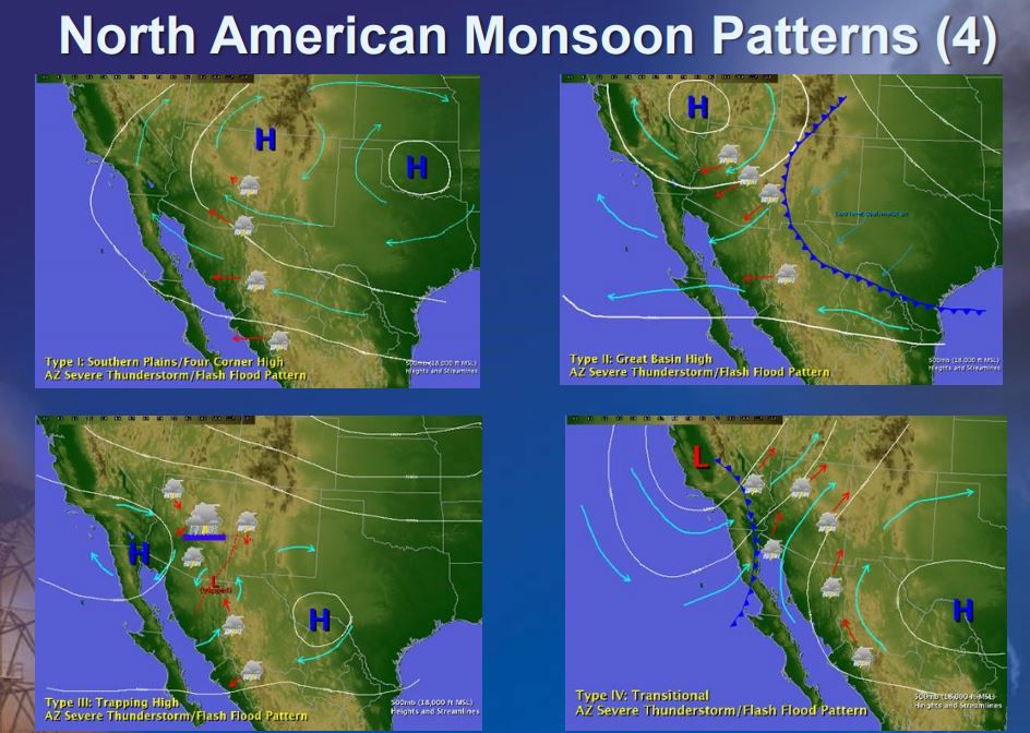
This is one of the four monsoon setups in North America, which sparks showers and storms in Southern California. The four monsoon setups provide different outcomes for the Desert Southwest, heavily dependent upon the placement of the upper-high.
The monsoonal flow, along with the above-average ocean temperatures, has allowed plenty of moisture and enough instability high in the atmosphere for thunderstorm development. The one lacking ingredient over the past few weeks has been a clear lifting mechanism.
Thunderstorms will not develop without strong lift. You may hear afternoon heating is a trigger for storms due to the heating creating instability, but the instability must be at the ground level, which has not been the case in recent weeks.
Some examples of lifting mechanisms include:
- Fronts
- Dry lines
- Differential heating
- Gravity waves
- Random turbulence
- Outflow boundaries
- Upslope flow (over mountain ranges, for example)
If there was a camera in the weather office, you would see Leah Freeman and I agonizing over whether a pronounced-enough lifting mechanism is present to develop elevated thunderstorms (where the instability is) day after day.
Sources of lift have been borderline, which makes it incredibly difficult to forecast thunderstorm initiation.
Two of the three thunderstorm ingredients have been present in Southern California over the past several weeks, but only rarely has there been a trigger to get thunderstorms to fire.