


Another round of Santa Ana winds is knocking at our door. That would make it our third Santa Ana wind event in the last two weeks across Southern California, and in December when most of us hope to start seeing rain.
We've had no rain yet this month, and these winds only exacerbate the situation by sucking all the moisture out of the air, along with critically dry vegetation already across the region. Needless to say, this isn’t ideal.
This upcoming event will begin with winds ramping up into Monday morning. The strongest gusts will begin to the north through the Ventura and Los Angeles County mountains before extending into the valleys by the afternoon.
Through the Southland, offshore winds will continue to pick up through the rest of the mountain passes, canyons, and foothills into the afternoon.
The strongest gusts will take place Monday night through late Tuesday morning. Mountains and foothills could experience gusts 40-60 mph, with isolated stronger gusts near 70 mph possible.
At that point, it will be windy even out through the basins and along the coastline, with gusts as high as 40 mph possible there.
Winds will begin to ease into Tuesday night, but gusty offshore winds will continue through the usual wind-prone areas into Wednesday. These gusts will not be as strong as the previous days, but still enough to warrant elevated fire danger through midweek.
As a result, wind advisories and high wind warnings have been issued across the region, along with a red flag warning through Tuesday night.
This is due to the gusty offshore winds along with low relative humidities (in the teens and single-digits) and dry fuels. It’s this combination that is a dangerous recipe for high fire danger.
We’ve been talking a lot recently on air about the Santa Ana Wildfire Threat Index, otherwise known as SAWTI.
The SAWTI scale has this labeled as a moderate event both Monday and Tuesday, meaning any fire that starts would grow rapidly and be difficult to control.
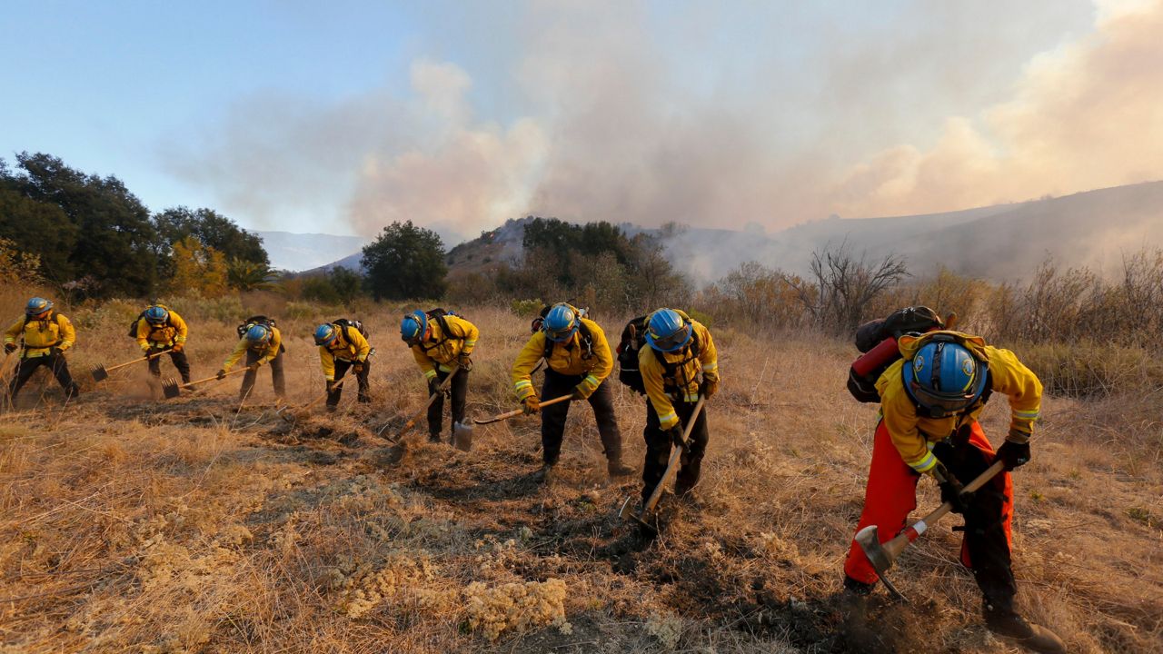
This is exactly what happened during the peak of our previous Santa Ana event last Thursday. Several fires broke out across the region and prompted evacuation warnings and orders for surrounding neighborhoods.
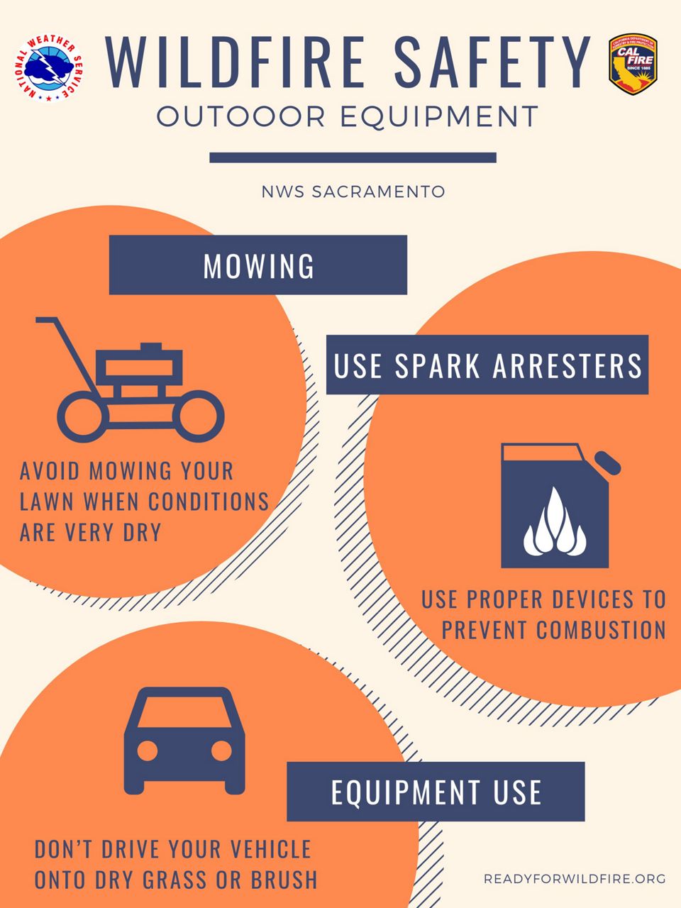
This is why it’s crucial to remain aware of your actions and be mindful during this type of severe weather event. Do what you can to reduce the risk of wildfires.
The South Coast Air Quality Management District has extended their residential wood-burning ban through Monday and will most likely do so through Tuesday as well. This includes all areas highlighted in orange.
South Coast AQMD "reminds residents in these areas that burning wood in their fireplaces or any indoor or outdoor wood-burning device is prohibited during the mandatory wood-burning ban. The no burn rule prohibits burning wood as well as manufactured fire logs, such as those made from wax or paper.”
No burn days are mandatory and apply to those in elevations under 3,000 feet, excluding the Coachella Valley and High Desert. The burn ban also does not apply to those homes that use wood as the only source of heat, low-income homes, or those who do not have natural gas.
A burn ban is issued in relation to particulate matter (PM2.5) in the air due to poor weather and wildfire smoke.
We had several fires break out last Thursday and that created a ton of smoke and even hazardous air quality across Orange County. We have had a burn ban in effect ever since. Smoke from wildfires adds more particulate matter to the air, resulting in unhealthy air quality for many.
As with all the Santa Ana wind events we have had recently, the utility companies have been cutting power in the high risk fire zones. This will be a possibility again over the next 48 hours.
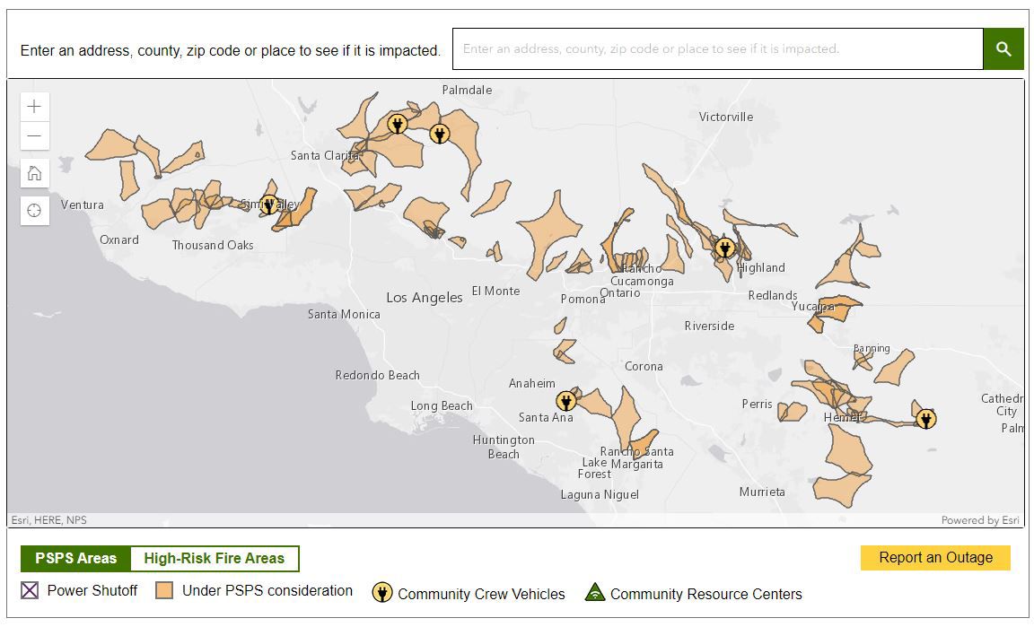
This PSPS event could impact 146,279 Southern California Edison customers between Monday and Tuesday. Remember this is temporary and a way to prevent electrical systems and power lines from becoming the source of ignition for a wildfire.
As I’ve been telling all my friends recently who live in high risk fire zones, be ready for anything when Santa Ana winds are howling - planned and unplanned fire shutoffs, rapid fire spread, evacuation warnings and orders, etc.
Best thing you can do is get prepared, have your emergency kit/go-bag ready (including the six P’s), secure outdoor items such as holiday decorations or furniture, know your evacuation route, subscribe to emergency alerts, have your car gassed up, and just be ready to evacuate.