


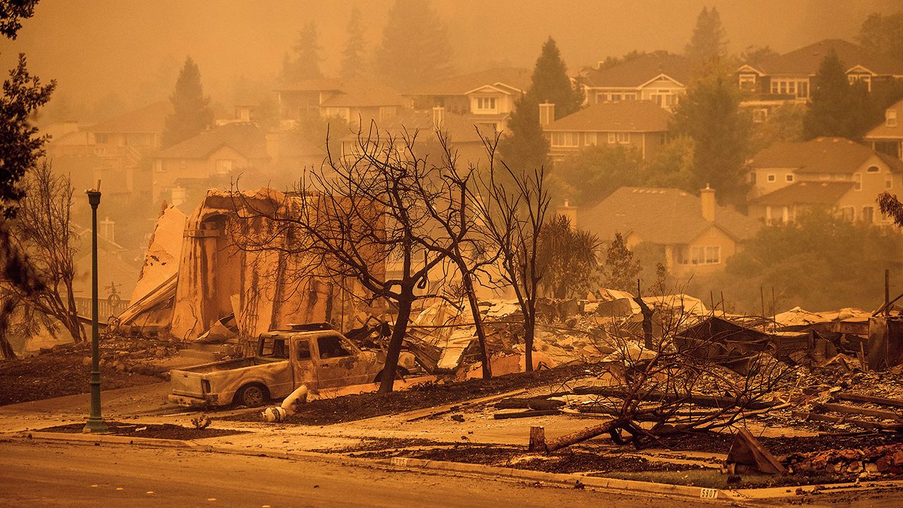
We all know at this point that intense wildfires have become a common threat for Californians.
Although most areas could be susceptible to fires, specific areas of the Southland are at a much higher risk based on certain factors.
As we saw with the Silverado and Blue Ridge Fires last year, many people in Irvine, Tustin, Lake Forest, Chino Hills, and Yorba Linda had to evacuate their homes. Even though firefighters were able to save most of the structures in these areas, it still forced many people from their homes.
I have many friends that had to evacuate once these fires broke out, and I was shocked to hear that they were unaware of living in or near a high fire zone.
At least 2.7 million Californians live in areas that Cal Fire classifies as wildfire vulnerable areas, otherwise known as Fire Hazard Severity Zones (FHSZ).
What exactly is a Fire Hazard Severity Zone?
A FHSZ is a designated zone that considers wildfire hazards, such as fire history, topography, vegetation, blowing embers, and weather. Areas labeled among the three types of hazard zones are: moderate, high, or very high.
The California FHSZ viewer is a great way to learn this information. Find your home and notice the areas around you that are considered moderate, high, or very high FHSZ. The light and dark salmon colors represent very high fire danger spots.
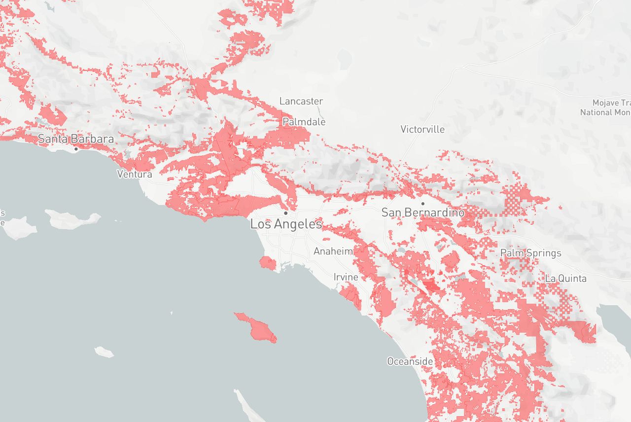
This tool does not predict wildfires, but it gives a general sense of where fires are more likely to burn and where they could cause the most harm.
It’s important to know if you live in a FHSZ so you can plan accordingly with wildfire preparation, not only for your family but for your home.
FHSZs also influence future construction zones and standards for building homes. Fire-resistant structures have a much better chance of survival when wildfires break out.
The FHSZs pinpoint fire hazard, which is not the same as fire risk.
Fire hazard has to do with the physical qualities that create a likelihood an area will burn over a 30 to 50-year period.
In comparison, fire risk considers other factors, like the impacted people and items, and how susceptible they are to wildfires.
Many of these maps changed over time as landscapes changed and there was progress with fire hazard mapping. Just because an area isn’t highlighted as a high fire zone on the map does not mean you are out of the woods.
Many would say you do not need to worry about wildfires in urban areas. Most of the time this rings true, but not always. No matter where you live in California, you are at risk for wildfires.
Remember, these models do not always pick up on specific scenarios like flying embers that can impact urban areas and cause rapid fire spread.
My recommendation - make sure you know where your neighborhood stands in terms of fire hazard or risk. Here is another example of mapping capability to better understand the wildfire threat in your neighborhood.