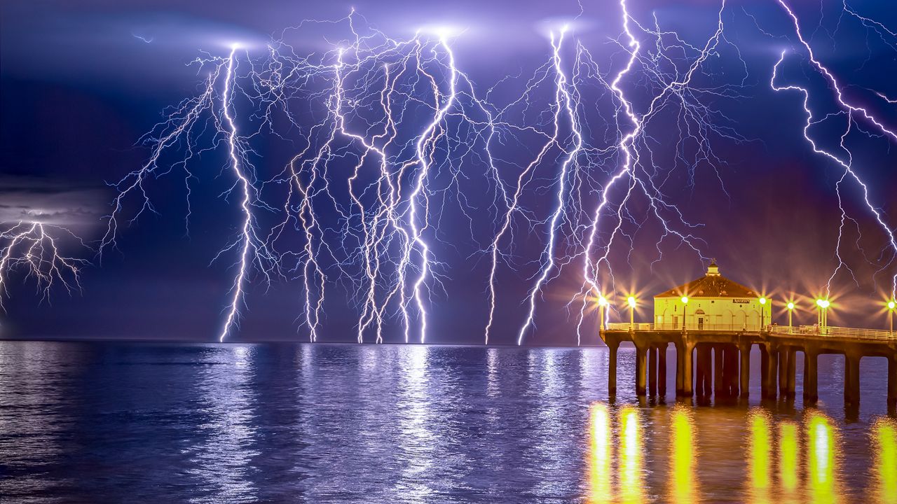
When you hear the word “monsoon” what comes to mind? You might think of multiple days of heavy rain and major flooding happening in other countries.
But monsoon storms are also common in the United States during the summer.
A monsoon is a well-defined meteorological event that signals a seasonal shift in wind direction, which leads to big changes in weather patterns.
The most significant monsoon is the Southeast Asia monsoon. Summers in Southeast Asia are extremely wet, with a lot of flooding. This is probably where the misconception that I alluded to above comes from.
In North America, monsoon storms occur in the Desert Southwest and northern Mexico. During the spring, the prevailing wind comes from the north and is dry. In summer, the wind comes from the south and is wet.
The primary force that causes wind to blow is the pressure gradient force. This just means winds blow from high pressure to low pressure. The difference in pressure is caused by a difference in temperature.
In summer, the Desert Southwest is extremely hot compared to the surrounding areas. Hot rising air creates low pressure over Arizona, New Mexico and northern Mexico. This is called a thermal low. Since the adjacent air is relatively cooler compared to the hot desert air, high pressure is created.
Moisture-rich air feeds into the low pressure from the Gulf of California, Gulf of Mexico and the eastern Pacific.
Another factor that plays a role in the North American Monsoon is a persistent ridge of high pressure in the upper levels of the atmosphere. In late spring and early summer, this upper level ridge of high pressure is located over central Mexico. Because of its position over Mexico, it cuts off the moisture source into Arizona.
However, in early July, this upper level ridge of high pressure moves into the Southern Plains of the central U.S. When this happens, the door is open for moisture to move from the Gulf of California, Gulf of Mexico and eastern Pacific.
The position of this upper level ridge of high pressure will determine if Southern California gets some summer rain. When the high pressure expands westward, it nudges the moisture westward.
When the moisture gets pushed to the west over Southern California, we can get showers and thunderstorms in the mountains and deserts. On some occasions, the coast and basins get in on the thunderstorms, too!
In fact, in July 1984, the National Weather Service reports, "High pressure over the Four Corners and the remnants of Hurricane Genevieve combined to send a surge of moisture into the Southwest."
This surge of moisture formed a huge thunderstorm know as a mesoscale convective system. This system dropped three inches of rain in southern Arizona, which caused flash flooding and $700,000 worth of damage.
Southern California mountains and deserts got in on the rain, too. Alpine, a mountain town in San Diego County, received 0.58 inches of rain, where Borrego Springs, a desert town in the same county, received 1.15 inches. Both are top-five daily rainfalls for July.
Our team of meteorologists dive deep into the science of weather and break down timely weather data and information. To view more weather and climate stories, check out our weather blogs section.


