


EL SEGUNDO, Calif. – Are you stuck in a rut, tired of the same old weather? Many times we get stuck in a weather pattern that just doesn’t budge.
What You Need To Know
- Something happens in the atmosphere that stalls weather systems
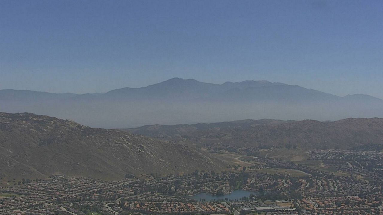
- California's hot weather courtesy of a stalled weather pattern
- Pattern named from the upper-level winds flowing in the shape of an Omega
- Area under the Omega block experiences dry weather
Whether it is a heatwave with blistering temperatures under high pressure or rainy day after rainy day under low pressure, something happens in the atmosphere that stalls weather systems.
California's hot weather this week is courtesy of a stalled weather pattern called an Omega block. It is named after the Greek letter Omega (Ω). This is because the upper-level winds, or the jet stream, flow in the shape of an Omega.
In the image below it is very clear where the high amplitude ridge is. Do you see how it resembles the Greek letter Omega?
Below is the current weather pattern at 500mb (about 18,000 feet above sea level) or about halfway up the troposphere. Do you remember what the troposphere is? The troposphere is where all weather on Earth happens. It extends from the surface of the Earth to roughly 30,000 feet above sea level.
In the image above of the current weather pattern, can you point out where the high-pressure ridge is and the two low-pressure troughs are? If you guessed the ridge is over California and the troughs over the eastern Pacific and eastern U.S., you are correct.
This past week, California has been under steady high pressure, which has stalled behind a low-pressure system over the eastern United States. Inland California has felt 90s to 100s for most of the week. To the west of the ridge of high pressure is another low-pressure system. It is because of the stationary ridge of high-pressure that we have had above average temperatures for several days (with the exception of the coast).
The high-pressure covers a large broad area from west to east and from north to south. So the air that flows from west to east has difficulty going up and over the ridge. So in effect, the high-pressure stalls and become stationary.
The area under the Omega block experiences dry weather with light winds. The areas to the west and east of the ridge (low pressure) experience cloudy and rainy conditions. This usually happens for several days at a time.
During an Omega Block pattern, forecasting is easier because of the persistent pattern. This basically means that what happened yesterday will probably happen today and tomorrow.
Areas under the eastern portion of the Omega will experience cooler than normal conditions because the air comes from the north. The area under the western or left side of the Omega will experience warmer than normal conditions because the air comes from the south.
So there you have it. Now you know why we have had several days of unseasonably hot temperatures.