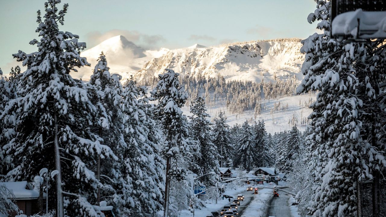
SACRAMENTO, Calif. (AP) — The snowpack covering California’s mountains is off to one of its best starts in 40 years, officials announced Tuesday, raising hopes that the drought-stricken state could soon see relief in the spring when the snow melts and begins to refill parched reservoirs.
Roughly a third of California’s water each year comes from melted snow in the Sierra Nevada, a mountain range that covers the eastern part of the state. The state has built a complex system of canals and dams to capture that water and store it in huge reservoirs so it can be used the rest of the year when it doesn’t rain or snow.
That is why officials closely monitor how deep the snow is in the mountains — and Tuesday was the first formal snow survey of the winter, a sort of Groundhog Day event where Californians get their first glimpse of how helpful the winter might be. Statewide, snowpack is at 174% of the historical average for this year, the third-best measurement in the past 40 years. Even more snow is expected later this week and over the weekend, giving officials hope for a wet winter the state so desperately needs.
But a good start doesn’t guarantee a good finish. Last year, the statewide snowpack was at 160% of average at the first survey. What followed were the three driest months ever recorded in California. By April 1 — when the Sierra snowpack is supposed to be at its peak — the snow was just 38% of historic average.
That history prompted muted optimism from state officials on Tuesday.
“While we see a terrific snowpack — and that in and of itself may be an opportunity to breathe a sigh of relief — we are by no means out of the woods when it comes to drought,” Karla Nemeth, director of the California Department of Water Resources, said Tuesday after a ceremonial snow measurement in the community of Phillips, just west of Lake Tahoe.
This winter’s promising start was aided by a spate of strong storms last month, most notably on New Year’s Eve, when much of the state was drenched in heavy rain causing floods that killed one person and damaged a levee system in Sacramento County.
That storm was warmer, so it brought more rain than snow. Two more powerful storms are expected to hit the state this week, and these will be much colder. The National Weather Service says the mountains could get up to 5 feet (1.52 meters) of snow between the two storms.
While the precipitation seemed out-of-character for the parched state, it reflects the type of rainfall the state would expect to see during a normal winter, but that has been absent in recent drought-driven years.
In Southern California, weather forecasters said “all systems go” for a major storm to sweep over the area Wednesday and Thursday, with peak intensity occurring from midnight to noon Thursday.
Strong winds will add to impressive storm dynamics “setting the stage for a massive rainfall event” across south-facing coastal mountains, especially the Santa Ynez range in Santa Barbara and Ventura counties, forecasters said.
That could cause dangerous conditions. On Jan. 9, 2018, the community of Montecito on the foothills of the Santa Ynez Mountains was ravaged by a massive debris flow that killed 23 people when a downpour fell on a fresh wildfire burn scar.
As California braced for more wet days ahead, heavy snow and freezing rain dumped on the upper Midwest on Tuesday, prompting the closure of the Sioux Falls Regional Airport in South Dakota and closing parts of Interstates 90 and 29. Meanwhile, heavy rain and thunderstorms threatened to cause flash flooding in Mississippi.
The storms in California still aren’t enough to officially end the drought, now entering its fourth year. Most of the state’s reservoirs are still well below their capacity, with Lake Shasta 34% full and Lake Oroville just 38% full. It takes even longer for underground aquifers to refill, with groundwater providing about 38% of the state’s water supply each year.
“We know that it’ll take quite a bit of time and water to recover this amount of storage, which is why we don’t say that the drought is over once it starts raining,” said Jeanine Jones, drought manager for the California Department of Water Resources.
But back-to-back-to-back powerful storms have left many Californians preparing for the worst. In San Francisco, crews were rushing to clear trash, leaves and silt that clogged some of the city’s 25,000 storm drains during Saturday’s downpour before the next storm hits later this week.
The National Weather Service is predicting up to 6 inches (15 cm) of rain in San Francisco with winds of speeds up to 30 mph (48 kph) with gusts of 60 mph (96 kph).
Mayor London Breed said city workers may not have enough time to clean all the storm drains before Wednesday and asked the public to prepare by getting sandbags to prevent flooding, avoiding unnecessary travel and only calling 911 in a life-or-death emergency.
City officials had distributed 8,500 sandbags as of Tuesday, asking residents to only get them if they have experienced flooding in the past. Tink Troy, who lives in South San Francisco, picked up some sandbags from the city’s public works department on Tuesday.
“They said (Saturday’s storm) was going to be bad, and it was really bad. Now they’re saying this one’s going to be worse. So I want to make sure I’m prepared and not having to do this when it’s pouring rain tomorrow,” she said.
___
This story has been updated to correct that the past three years have been the driest ever recorded dating back to 1896, not 1986.


