TORRANCE, Calif. — If any animal is associated with speed, or the lack of it, it’s the humble turtle. Unrushed as it ambles through the environment, it is the antithesis of a roadway system that prioritizes getting around as quickly as possible. So it makes sense that the turtle will soon be the face of a signage campaign for a new regional system of low-speed vehicles.
Unveiled Wednesday by the South Bay Cities Council of Governments as part of its upcoming Local Travel Network, the rolling turtle signs are designed to alert motorists to be aware of small, slow vehicles in zones where the speed limit is restricted to 25 mph and to encourage them to take more trips with e-bikes, golf carts and e-scooters.

Representing 16 South Bay cities, including El Segundo, Manhattan Beach and Redondo Beach, SBCCOG plans to roll out the first two low-speed corridors in the network later this year. Eventually, the network could use 243 miles of existing roads to create a new system of interconnecting, low-speed streets for zero-emissions personal mobility devices in the hopes that it will reduce traffic, lower greenhouse gas emissions and improve overall street safety.
“Because the South Bay is doing something truly groundbreaking with the Local Travel Network, we wanted its visual representation to be something that local and out-of-town motorists would immediately recognize for its completely novel approach to local travel,” Rancho Palos Verdes Mayor Pro Tem and SBCCOG Chair John Cruikshank said in a statement. “We hope other communities in our region, and even the nation, will take notice of how our network works and realize when it comes to sustainable local travel, ‘slow is the way to go.’”
The SBCCOG adapted a resolution in May 2021 to pursue the initiative as an enticement for residents to get out of their cars. The resolution comes as California strives to reduce greenhouse gas emissions to 40% below 1990 levels by 2030.
The first corridors to be activated as part of the new Local Travel Network are the beach cities of El Segundo, Manhattan Beach, Hermosa Beach and Redondo Beach and the inland cities of Gardena, Lawndale and Hawthorne.
The rolling turtle image was selected with input from various stakeholders, including Metro, the California Transportation Commission and local groups, including the League of Women Voters. The SBCCOG board of directors approved the sign design, which will roll out before the end of the year.
Lacking a robust public transit system to service an area that is home to 1 million residents, SBCCOG has been working on the idea for almost a decade. Public transit accounts for less than 3% of South Bay trips.
The council found that 70% of the region’s trips are three miles or less, and 90% are within ten miles, yet the majority of individuals took those trips by car — spending an average of $9,000 individually and $1.5 billion collectively each year.
The South Bay is home to 750,000 registered vehicles. The SBCCOG says that switching some trips taken in those cars to smaller, slow-speed vehicles will reduce traffic congestion on major roads and the emissions they generate.
According to SBCCOG research, 64% of all trips originating in the South Bay also ended in the South Bay. The average length of a trip was seven minutes. Just 9% of travel that originated in the South Bay ended outside of its 25-mile radius, which stretches north from the Port of Long Beach to Los Angeles International Airport, and west from the Palos Verdes Peninsula to the Pacific Ocean.
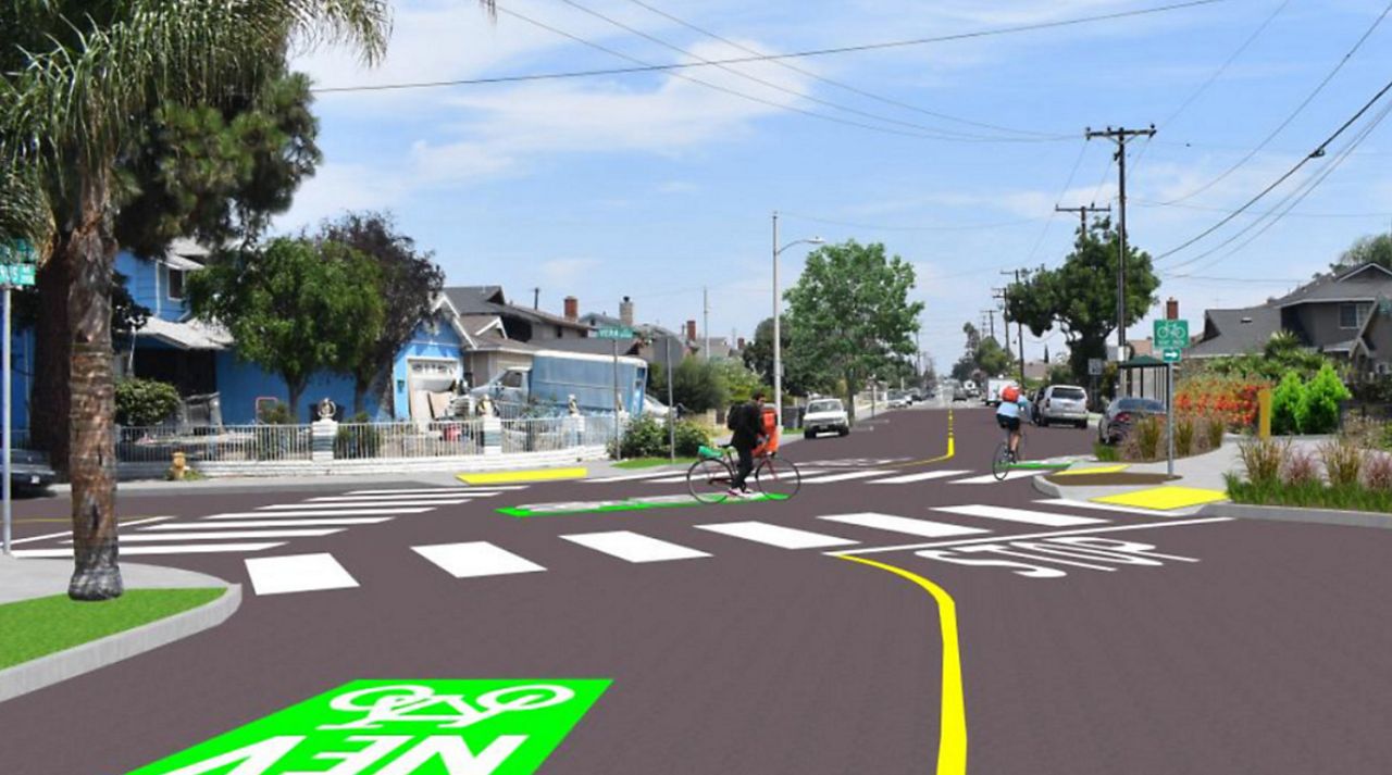
Under the Local Travel Network plan, about 10% of the area’s 2,000 miles of existing streets would be outfitted with street paint and other modest infrastructure improvements to support lightweight, zero-emission vehicles such as e-bikes. The lanes will be shared, so they will not prohibit higher-speed vehicles. They will, however, be posted with the new rolling turtle signs to alert motorists to pay attention to slower-moving vehicles and abide by the 25 mph limit.


