


HUNTINGTON BEACH, Calif. — Huntington Beach is the first city in California to offer real-time data about beach hazards on a new website.
It’s called Safe Beach Day.
What You Need To Know
- Safe Beach Day uses a green, yellow, and red color-coded system indicating which areas have more hazards
- Stingray attack information will also be included on the website
- Huntington Beach is the first city in California to offer this real-time beach hazard information
- The city also hopes to use the same website to offer information on real-time parking availability
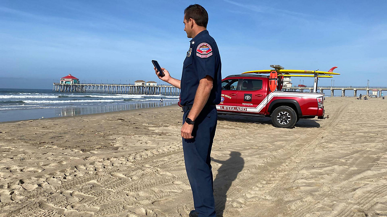
Marine Safety Division Battalion Chief Trevor McDonald with the Huntington Beach Fire Department says the new tool will help continue the department’s mission of public safety.
“When someone comes down, we want them to have the best time possible,” he said. “And a lot of times, making informed decisions and being aware of what’s going on is going to help them have a great time.”
Safe Beach Day is a website with real-time data, including what’s called aquatic risk. The lifeguard towers on the map will show up green for moderate risk areas, yellow for medium risk and red for hazardous.
McDonald says the colors are based on “the surf height, the strength of the rip currents, and the overall ocean conditions.” Pink towers will indicate a special event is taking place.
McDonald noted that Huntington Beach always has some type of risk in the water because of the wave dynamics in the area.
“We have an outside break, and then we have a deeper mid channel, and then we have an inside break,” he said. “And so a majority of our rescues occur in that mid channel section where people get pulled into rip currents, which is deeper where they can’t touch.”
The website will also include stingray info.
“If we were to have anyone stung, it would show an icon right in the water of a stingray,” said McDonald. “And it would show you… how many stingrays that tower or that location had treated.”
Bradley Inman was hanging out at a beach in what was near a red-tower area. He says the website would be helpful.
“Especially when I bring family or friends here, I want to go in a kind of low-risk area,” he said. “So it’s cool. It kind of has a tracker.”
McDonald explained that the real-time stats available on the website will also help make operational decisions. For example, he says if one area has more rescues or stingray attacks, then the department could “add additional staff and additional support in those locations, and do extra preventative measures.”
The website includes information for lifeguard towers from Beach Boulevard to Seapoint and tower at Sunset Beach from Warner to Anderson. Eventually, the website will also include information for Huntington Harbor.
“Our goal is for everyone to have a safe day, a great day,” said McDonald.
Huntington Beach says it also plans to include parking information on Safe Beach Day. The city says it hopes to have that information up on the website by summer using a green, yellow and red color-coded system.