


EL SEGUNDO, Calif. – May Gray and June Gloom are familiar phrases to those living in Southern California, the low-level clouds that keep us cooler during the late spring and early summer months. These clouds have been noticeably absent this May and it looks like we likely won’t see much of them in June, either.
First, let’s explain what causes May Gray and June Gloom.
Many people assume the marine layer is a synonym for clouds, but that’s not entirely correct. The marine layer is simply a shallow layer of air that forms at the ocean surface, typically between a few hundred up to 3,500 feet deep, where temperature and dew point (the temperature at which clouds form) are very close together. At the top of the marine layer, temperature and dew point very quickly and dramatically diverge.
Have you ever taken off from LAX in May or June in the clouds and very quickly broken through into sunshine? You flew through a saturated (cloudy) marine layer and into the dry air above it.
Note: Temperature and dew point have to be very close for clouds to form, but clouds aren’t always present when they are close, which is why marine layer doesn’t automatically mean clouds. This is an important distinction for later in this discussion.
Although many factors have contributed to the minimal marine layer this May, two stick out: changing storm patterns, and warmer ocean waters.
(High-resolution satellite imagery shows what May Gray looks like from above. A solid layer of clouds clinging to the coastline and extending well offshore.)
For several years, there has been a persistent area of high pressure high up in the atmosphere in the northeastern Pacific Ocean that has steered storms so far to the north, much of the West Coast has been left parched during normally active winter months. This persistent high pressure was nicknamed the “ridiculously resilient ridge” by one meteorologist because it just won’t go away.
You also may have heard of the warm “blob” over this same area. The “blob” is a very large swath of water running 4-10°F above average, a direct result of the persistent high pressure steering storms away from this area. There is also the more fluctuating ocean waters along the immediate California coast, which have been as much as 9°F above average in recent years.
It takes tremendous amounts of energy to warm water, so water temperatures measuring this far above average are very unusual—and a testament how much extra solar energy the water is receiving.
This is something scientists call a feedback loop—a process that once it gets going, is extremely difficult to stop or reverse.
Arctic temperatures are warmer, which has helped change the jet stream and drive storms well to the north, which has led to more sunshine over the Eastern Pacific, which has led to less churning of the water and less mixing of colder water below the surface, which has led to warmer ocean waters, which has contributed to a less prominent, thinner marine layer.
“Ocean temperatures have really taken off since 2012,” National Weather Service Warning Coordination Meteorologist Alex Tardy said. “It’s anyone’s guess as to if and when we will snap out of this cycle.”
It’s not easy to snap out of a cycle like this because the trend has to be reversed somewhere along the line, and there is no indication that is going to happen anytime soon.
“There is no computer model indicating anything other than land warmth and ocean warmth for Southern California,” Tardy said.
Ocean water has not just been warm in Southern California in recent years, it’s been record-breaking. Scripps Ocean Institute recorded all-time record-high sea-surface temperatures at Scripps Pier in San Diego in August 2018 and 2019 at 79° and 80°F, respectively. The average water temperature in August is 71°F.
There was also an all-time record set at Scripps Pier in May at 73.5°F.
(Ocean waters off the Southern California coastline have been anywhere between 1 to 10°F above average in May, contributing to a thinner and weakened marine layer. The warm waters peaked May 7, seen in this capture. Waters have become cooler as the month draws to an end, and the marine layer has become more typical to close out the month. Photo courtesy of NASA)
“[Setting a new record in May] doesn’t guarantee we will set another all-time record temperature [this year], but there is a good chance,” Tardy said.
Water is warm all the way up the Southern California coastline right now, running between 1 and 6°F above average.
“It really affects everything,” Tardy explained. “Nights are warmer, it’s muggy near the coast, and the marine layer is eroded.”
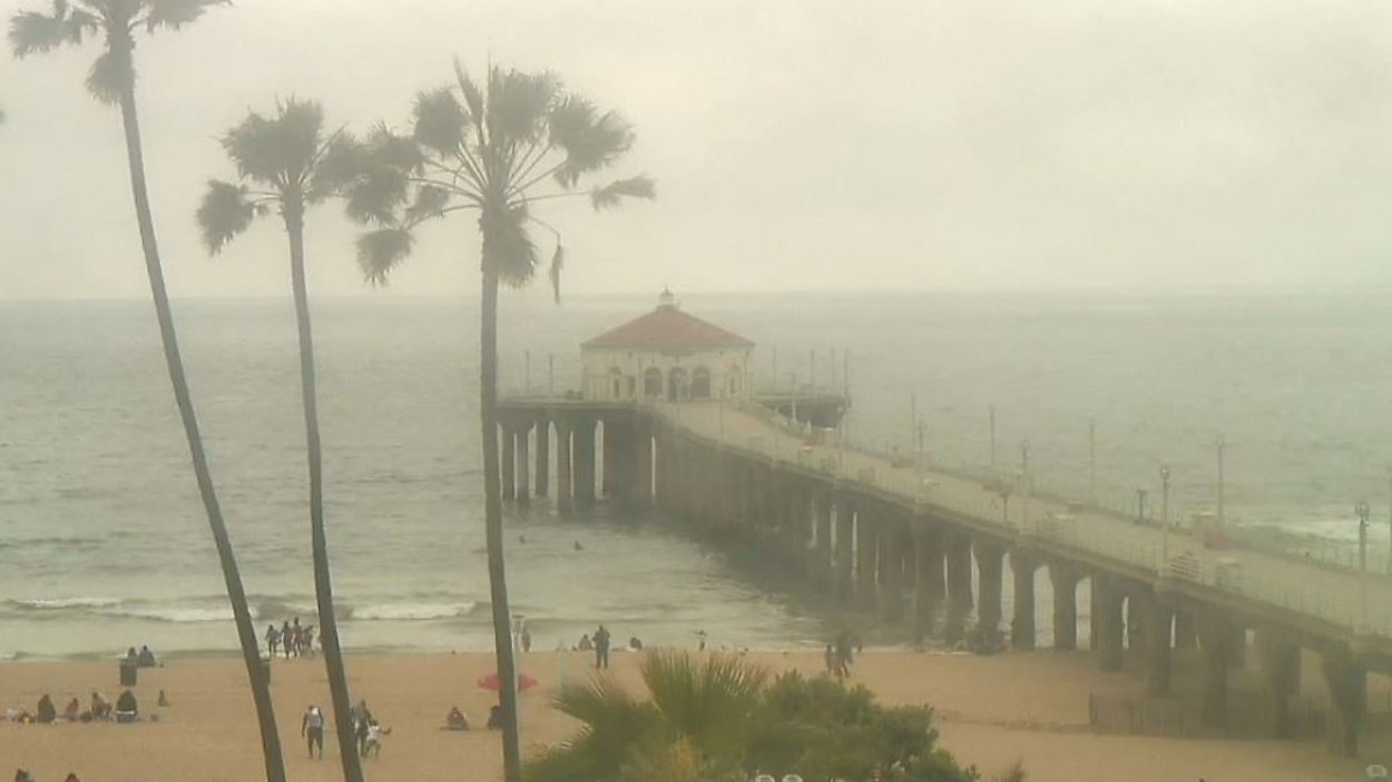
Southern California has had a very thin marine layer through May—even though it hasn’t always been cloudy, the marine layer is still present, albeit very shallow.
Just as the marine layer tried to get established and deepen in May, a weak cold front from well to the north has brushed Southern California, mixing drier air from above with the marine inversion down below—mixing the marine layer out.
If this pattern continues through summer, and every indication is that it will, we can expect more heat waves inland and more humidity near the coast—and no real June Gloom.