


When it comes to forecasting wildfires, knowing when and where they happen is just half the battle. Predicting their behavior and spread rate are critical components to getting them under control.
LA Times Metro Reporter, Joe Serna, has written about California's fire forecasting technology.
"Fire forecasting first started as fire behavior analysis in 1972. The U.S. Forest Service had reached out to former engineers from General Electric, who were working on a Nuclear Powered Plane Program company. Once that folded, there were a lot of engineers available. And the Forest Service reached out to Richard Rothermel to help try and solve the problem. So, Richard came up with this formula called the "Richard Rothermel model" that predicted the rate of spread of fires," said Serna.
The formula that Rothermel established in 1972 has been used as a guide for future procedures. There is a new company in San Diego that is using this technology today.
"Technosylva is one of the many companies that use it in a more unique way than others. They use supercomputers and more algorithms than a lot of their competitors. After speaking with them, they think it has a finer level of detail in its data because it can predict what the trees are made of in terms of their moisture. As well as the grass, the brush, and how dry it is," added Serna.
Since this company has better detail than others, their forecast is supposed to be more accurate, and other companies are buying into that.
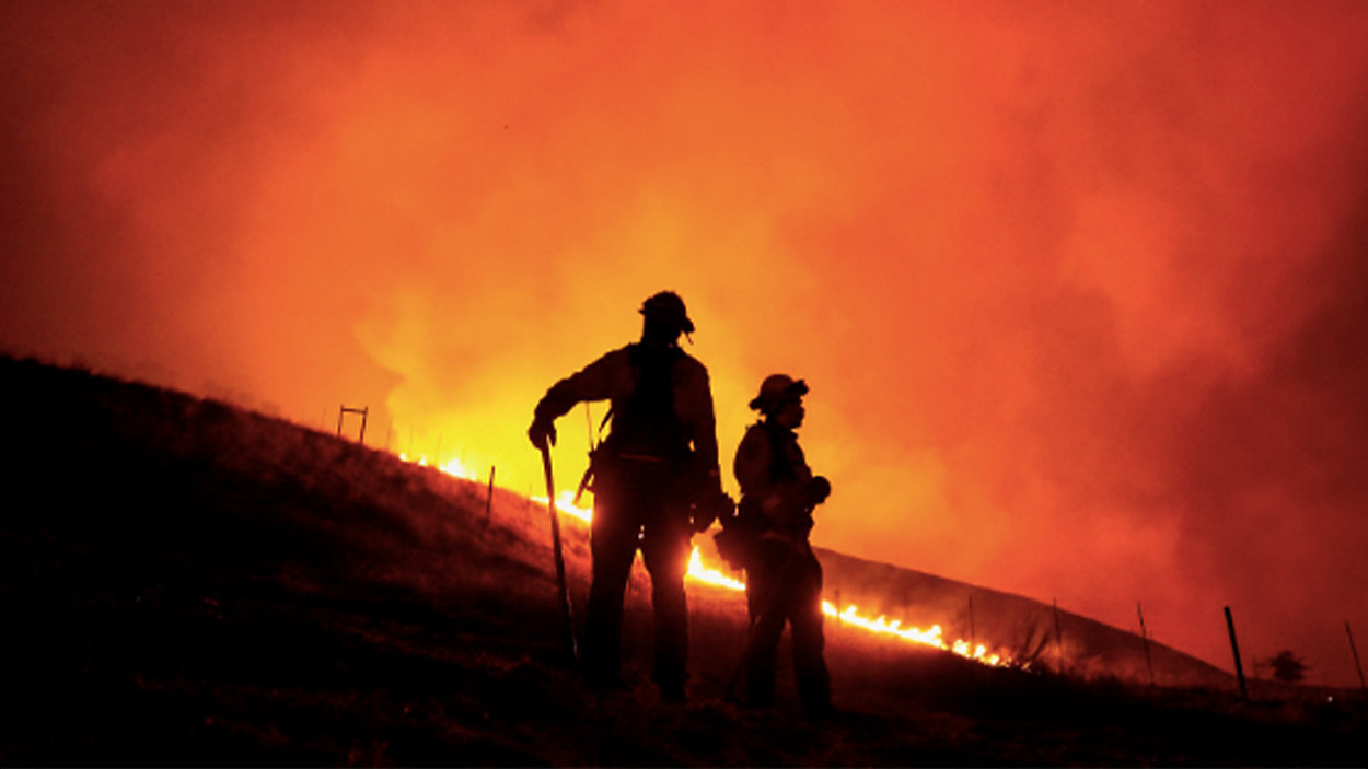
The technology was put to the test in Northern California during the Complex Fire.
"When the fire alarms went off, Cal Fire put the software into use. It hasn't been rolled out yet, so not all battalion chiefs or fire stations in the state will have it. But, several Cal Fire analysts were able to use it. And, what they do is run many simulations and try to model where the fire is going to go," said Serna.
They then try to figure out where they will put bulldozers and firefighters based on what the model is telling them.
So far, Cal Fire liked what they saw regarding the technology, and it provides a ballpark for what fires can do. One firefighter said they hope one day when they get into a fire truck; there will be a screen there that is constantly being updated, showing them where the danger is.
"That would be night and day if we can get there. In 2017, hundreds of firefighters went into those communities during the Wine Country fire and did not have anything to their advantage. They didn't know where the fire was exactly, and they didn't know how fast it was moving. But, that is what this is trying to solve, to be able to give these folks as they head to the next fire, and the idea of what they are facing," added Serna.
This technology is not just meant for firefighters while they are chasing the flames, but this could help electric companies to determine where to shut down the grid to prevent sparking fires in the first place.
"Utilities have actually been using this technology a little bit longer than Cal Fire. And, they're using it during their public safety power shut-offs, where they power down large sections of their grids, so thousands of people lose power on hot and windy days. They do that to prevent starting a fire and to see what areas of their grid will start the worst fires. If their simulation says they'll start a 50-acre fire, but they won't damage any homes, that is a less worse scenario than a different part of their grid starting the next Camp Fire or the next Wine Country Fire," said Serna.