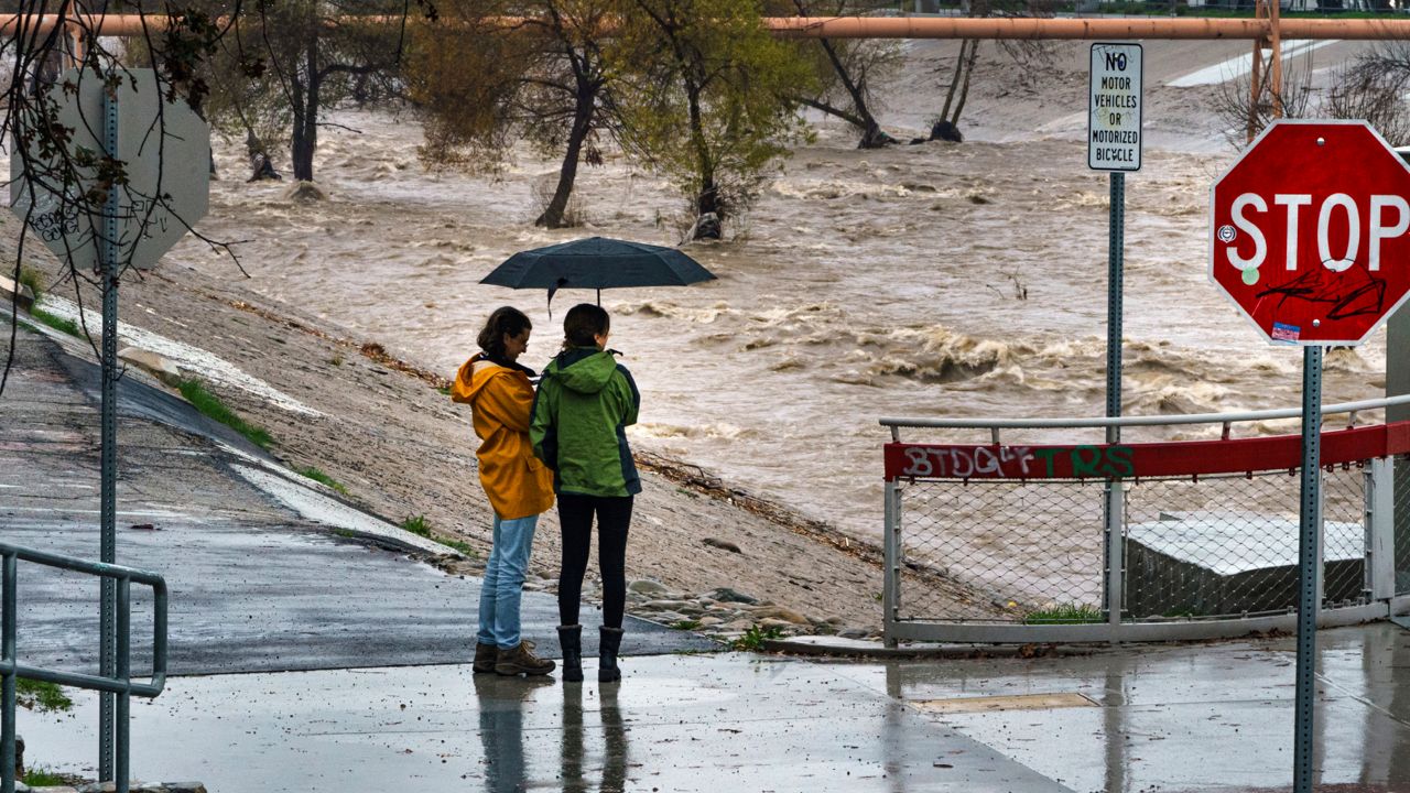
Grab your umbrellas. And while you’re at it, be sure to put on your tallest rain boots, set up your rain barrels and hunker down. The next atmospheric river to descend on California will hit Tuesday, bringing as much as 10 inches of the wet stuff to Santa Barbara and the San Bernardino mountains, according to the latest forecast from California state climatologist Michael Anderson.
The storm is expected to last between 24 and 30 hours, “and then we get a little bit of clearing, which is good, but we’re not done yet,” Anderson said during a California Department of Water Resources winter storm briefing Monday.
Anderson expects at least one more atmospheric river, and possibly two, descending on California sometime between March 19 and 22.
“Coupled with this is going to be wind,” he said. “So this is wind and wet down on the southern part of the state.”
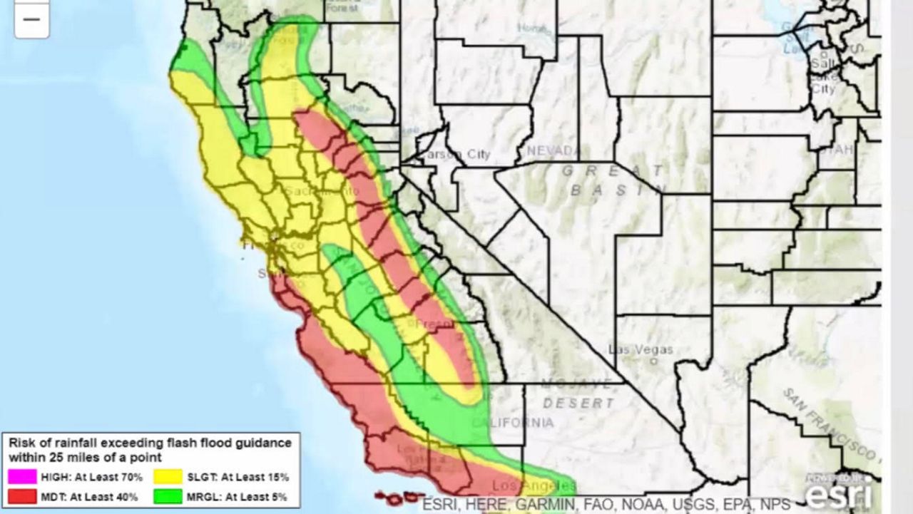
Southern California is expected to be hit harder than the northern part of the state this go round, according to the National Oceanic and Atmospheric Administration's excessive rainfall forecast for Tuesday. The entire SoCal coast from Santa Barbara to Los Angeles has a 40% risk of rainfall exceeding flash flood guidance.
“Make sure that you have things secured and that you have a safe location to be,” Anderson advised. “Please pay attention for any watches and warnings, and please listen to the emergency folks that are there to help keep you safe.”