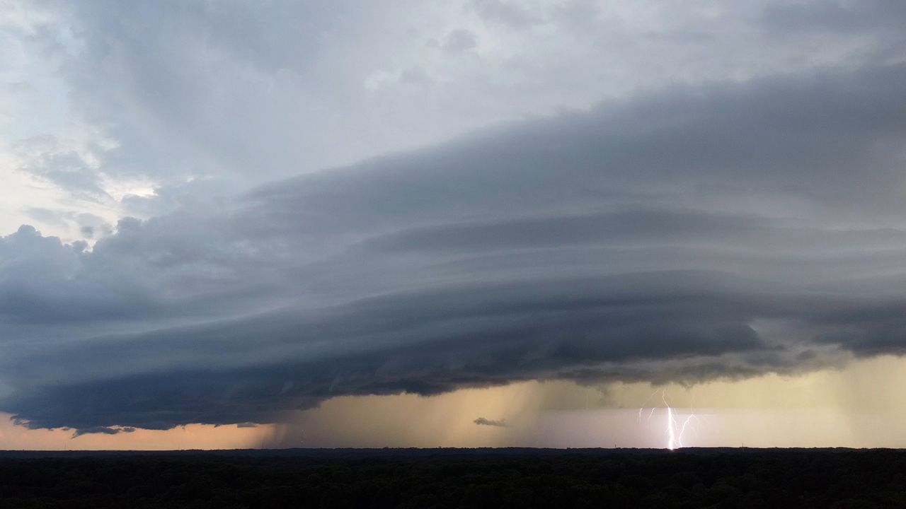
The final few days of the summer season are here and it remains very summer-like in terms of temperatures. However, a weak cold front is moving through Wisconsin. That front is leading to the development of rain and thunderstorms. We will be monitoring the threat for some severe weather in western Wisconsin.
Activity moves east as we head into Friday morning; it will start to taper in the pre-dawn hours. Severe weather is not expected as we get beyond midnight.
Behind the front Friday, no real cool air as highs are expected to return to the 80s. Wind speeds hold around 5-15 mph.
We look to get one more toasty day Saturday before things start to change; just in time for fall to start on Sunday.
Friday's Forecast:

Check your local forecast | Send us your weather photos
Follow the "Weather On the 1s" Team on social media for the latest weather updates:
Chief Meteorologist JD Rudd: Facebook | Twitter
Meteorologist Brooke Brighton: Facebook | Twitter | Instagram | Threads
Meteorologist Jesse Gunkel: Facebook | Twitter
Meteorologist Kristin Ketchell: Facebook | Twitter | Instagram


